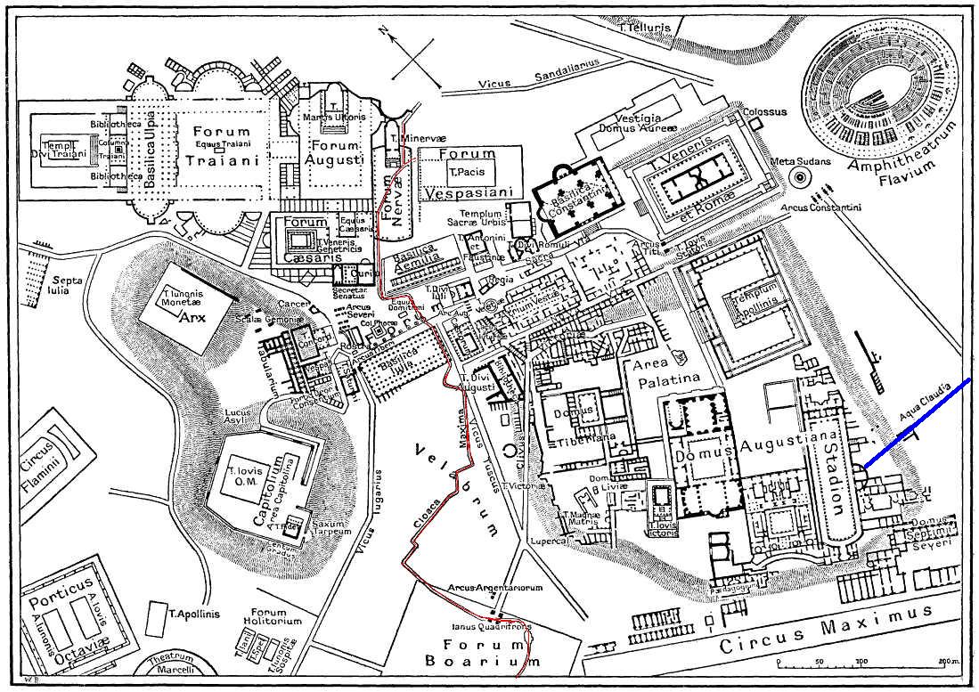

Map of downtown Rome during the Roman Empire large-annotated
This is a map of ancient Rome showing a sewer (Cloaca Maxima, red) and an aqueduct (Aqua Claudia, blue line) near Palatine hill. Forum Boarium. And no "human map temple of lord Hamminton" (who?) is in the underground of Rome, but in history of that file.
- Mapmaker / publisher
- Gradvmedusa
- Place
- ancient Roman aqueducts in Rome
- Archive
- Wikimedia Commons
- Type
- map
- Original size
- 1,099 × 777 pixels
Public domain
Reason: its maker died long enough ago that the copyright has expired.
This status rests on the map's publication history, as researched by Wikimedia Commons. Check it before commercial use.
Read from: Commons licence category: PD Old; no CC BY, CC BY-SA, GFDL or deletion tag on the file page.
Credit line
"Map of downtown Rome during the Roman Empire large-annotated". Gradvmedusa, via Wikimedia Commons. Public domain. https://commons.wikimedia.org/wiki/File:Map_of_downtown_Rome_during_the_Roman_Empire_large-annotated.jpgNeed maps for a whole project? Add Find Any Map to Claude and ask for this one by its id: 20166.
More like this

Map of downtown Rome during the Roman Empire large
1916 · Wikimedia Commons

Map of downtown Rome during the Roman Empire large - Temple of Casear
Wikimedia Commons

The Topography and Monuments of Ancient Rome cropped
1911 · Wikimedia Commons

Forum Romanum Arcus Augusti
Wikimedia Commons

Map of downtown Rome during the Roman Empire large - Equees Traiani
1916 · Wikimedia Commons

Map of downtown Rome during the Roman Empire large - Decennalia base
1916 · Wikimedia Commons

Map of downtown Rome during the Roman Empire large - Arch of Augustus
Wikimedia Commons

EB1911 Rome - Imperial Fora
1911 · Wikimedia Commons