

Map of Claigmar Vineyard 1920
Map of Claigmar Vineyard in Finchley, Middlesex, 1920
- Date
- 1920
- Mapmaker / publisher
- Ordnance Survey
- Place
- London
- Archive
- Wikimedia Commons
- Type
- map
- Original size
- 1,569 × 1,234 pixels
Public domainsafest
Reason: its maker died more than 70 years ago.
Read from: Commons licence category: PD-old-70-expired; no CC BY, CC BY-SA, GFDL or deletion tag on the file page.
Credit line
"Map of Claigmar Vineyard 1920" (1920). Ordnance Survey, via Wikimedia Commons. Public domain. https://commons.wikimedia.org/wiki/File:Map_of_Claigmar_Vineyard_1920.jpgNeed maps for a whole project? Add Find Any Map to Claude and ask for this one by its id: 292019.
More like this

Strawberry Vale 1910s
1910 · Wikimedia Commons

Map of Middlesex
1868–1883 · Sheet 011, Ordnance Survey, 1868-1883
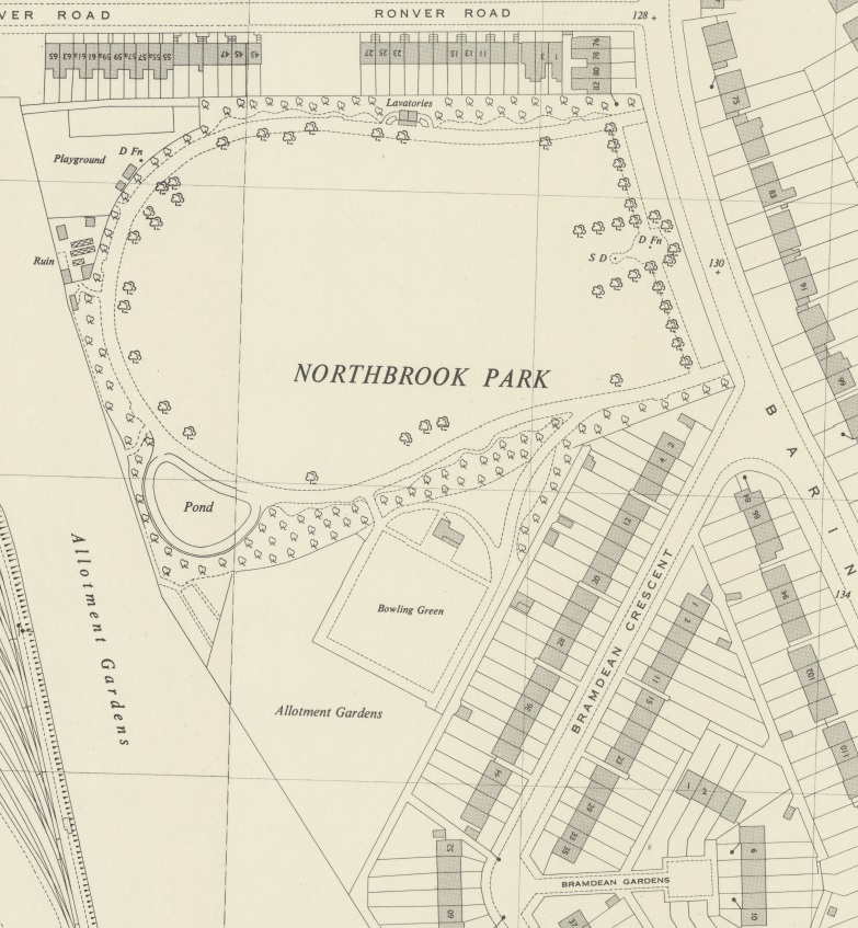
Section of OS map published in 1944 showing in Grove Park
March 1, 1944 · Wikimedia Commons

Hand Coloured Map Indicating London Poverty 1898-1899 Sheet 17 - Golders Green and Brent Cross
1894–1896 · Wikimedia Commons

Map of City of London and its Environs
1869–1880 · Sheet 003, Ordnance Survey, 1869-1880

Map of City of London and its Environs
1869–1880 · Sheet 004, Ordnance Survey, 1869-1880

Map of Middlesex
1868–1883 · Sheet 006, Ordnance Survey, 1868-1883

Map of Middlesex
1868–1883 · Sheet 007, Ordnance Survey, 1868-1883