

Map of Central Asia in 1824
- Date
- 1824
- Mapmaker / publisher
- published by C. Smith. London
- Place
- Central Asia
- Archive
- Wikimedia Commons
- Type
- map
- Original size
- 4,967 × 3,936 pixels
Public domainsafest
Reason: its maker died more than 70 years ago.
Read from: Commons licence category: PD-old-70-expired; no CC BY, CC BY-SA, GFDL or deletion tag on the file page.
Credit line
"Map of Central Asia in 1824" (1824). published by C. Smith. London, via Wikimedia Commons. Public domain. https://commons.wikimedia.org/wiki/File:Map_of_Central_Asia_in_1824.jpgNeed maps for a whole project? Add Find Any Map to Claude and ask for this one by its id: 241736.
More like this

Central Asia. From Du Halde, D'Anville, Jelenieff &c &c., but imperfect and inaccurate authorities. Hooker sc. (Published by John Conrad & Co., Philadelphia. 1804) (cropped on Central Asia, Tajikistan, Uzbekistan)
1804 · Wikimedia Commons

Central Asia. From Du Halde, D'Anville, Jelenieff &c &c., but imperfect and inaccurate authorities. Hooker sc. (Published by John Conrad & Co., Philadelphia. 1804)
1804 · Wikimedia Commons

1838 map of Western Siberia, Independent Tartary, Khiva, Bokhara &c
1838 · Wikimedia Commons
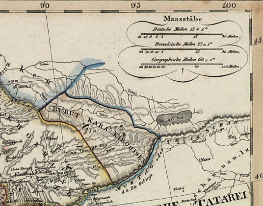
Map of Burut-Kyrgyz
1829 · Wikimedia Commons

Turkestan or Independent Tartary
1860 · Wikimedia Commons

Russia in Asia And Tartary
1834 · Wikimedia Commons

AN EIGHTEENTH-CENTURY PLAN OF CENTRAL ASIA. The Vanished Empire
1926 · Wikimedia Commons

La Tartaria indipendiente che comprende il Paese de'Calmuchi quello degli Usbeks, e il Turkestan
1784 · Wikimedia Commons