

Map of Birmingham, Alabama and adjacent suburbs.
Scale ca. 1:16,000. "Engraved by Edwin M. Gardner, Nashville, Tenn." Shows wards and street railway lines. Includes index to points of interest and statistical information. AACR2: 651/1; 651/2
- Date
- 1903
- Mapmaker / publisher
- Kelley, George
- Place
- Birmingham
- Scale
- 1:16,000
- Archive
- Library of Congress (via Wikimedia Commons)
- Type
- map
- Original size
- 6,012 × 5,823 pixels
Public domainsafest
Reason: its maker died more than 100 years ago.
Read from: Commons licence category: PD-old-100-expired; no CC BY, CC BY-SA, GFDL or deletion tag on the file page.
Credit line
"Map of Birmingham, Alabama and adjacent suburbs." (1903). Kelley, George. Library of Congress, Geography and Map Division, via Wikimedia Commons. Public domain. https://commons.wikimedia.org/wiki/File:Map_of_Birmingham,_Alabama_and_adjacent_suburbs._LOC_73696177.jpgNeed maps for a whole project? Add Find Any Map to Claude and ask for this one by its id: 15377.
More like this

Birmingham Alabama map 1903
1903 · Library of Congress

Birmingham, Alabama.
1885 · Library of Congress

Business section of the city of Birmingham, Alabama.
1904 · Library of Congress

New map of Nashville, Tennessee.
1916 · Library of Congress

Birmingham Alabama map 1885
c. 1885 · Library of Congress

Sanborn Fire Insurance Map from Birmingham, Jefferson County, Alabama, 1891, volume 3
1891 · 43 sheets
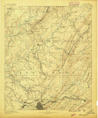
Birmingham, Alabama: USGS topographic map, 1:125,000 (1889–1907)
1889–1907 · 9 editions
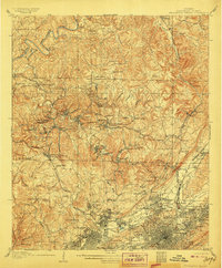
Birmingham Special, Alabama: USGS topographic map, 1:62,500 (1906)
1906 · USGS Historical Topographic Map Collection