

New map of Nashville, Tennessee.
Scale ca. 1:22,500. Relief shown by hachures. Shows radial distances, city wards, and fire districts. Includes index and "Nashville street railway directory." AACR2: 651/1; 651/2
- Date
- 1916
- Mapmaker / publisher
- Marshall & Bruce Co., Nashville
- Place
- Tennessee
- Scale
- 1:22,500
- Archive
- Library of Congress (via Wikimedia Commons)
- Type
- map
- Original size
- 10,218 × 6,688 pixels
Public domainsafest
Reason: its maker died more than 100 years ago.
Read from: Commons licence category: PD-old-100-expired; no CC BY, CC BY-SA, GFDL or deletion tag on the file page.
Credit line
"New map of Nashville, Tennessee." (1916). Marshall & Bruce Co., Nashville. Library of Congress, Geography and Map Division, via Wikimedia Commons. Public domain. https://commons.wikimedia.org/wiki/File:New_map_of_Nashville,_Tennessee._LOC_75695990.jpgNeed maps for a whole project? Add Find Any Map to Claude and ask for this one by its id: 18534.
More like this

Map of the city of Nashville and vicinity
1877 · Library of Congress

Topographical map of Nashville, Tenn.
1860 · Library of Congress

Map of Nashville, Tennessee.
1860 · Library of Congress

Nashville-Tenn. and vicinity 1863
1863 · Library of Congress

The Matthews-Northrup new map of the city of Buffalo.
1916 · Library of Congress
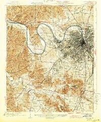
Nashville, Tennessee: USGS topographic map, 1:62,500 (1932)
1932 · 2 editions
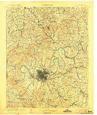
Nashville, Tennessee: USGS topographic map, 1:125,000 (1903)
1903 · 2 editions

Map of Davidson County, Tennessee
1900 · Library of Congress