

Map of Asmara in 1895
- Date
- 1895
- Place
- Eritrea
- Archive
- Wikimedia Commons
- Type
- map
- Original size
- 2,711 × 1,935 pixels
Public domainsafest
Reason: its maker died more than 70 years ago.
Read from: Commons licence category: PD-old-70-expired; no CC BY, CC BY-SA, GFDL or deletion tag on the file page.
Credit line
"Map of Asmara in 1895" (1895). Wikimedia Commons. Public domain. https://commons.wikimedia.org/wiki/File:Map_of_Asmara_in_1895.jpgNeed maps for a whole project? Add Find Any Map to Claude and ask for this one by its id: 236759.
More like this

Eritrea 1896
December 25, 2015 · Wikimedia Commons

Large-scale-old-map-of-eritrea-with-relief-roads-and-cities-1896
1896 · Wikimedia Commons
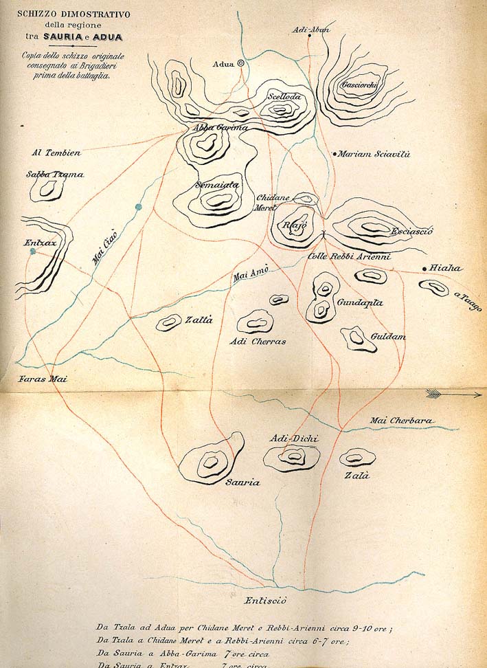
Adwa map
1890 · Wikimedia Commons

Gallica on a map of 1895 showing de Decauville railway near Massaua
1895 · Wikimedia Commons

AFR V1 D271 Assab
June 12, 1890 · Wikimedia Commons

Schizzo del Co-Hàin, tracciato sul disegno del Cap. N. Gentile
1894 · Wikimedia Commons

AFR V1 D319 Kassala
June 12, 1890 · Wikimedia Commons

Plan of Elmina (Ghana) 1898
1898 · Wikimedia Commons