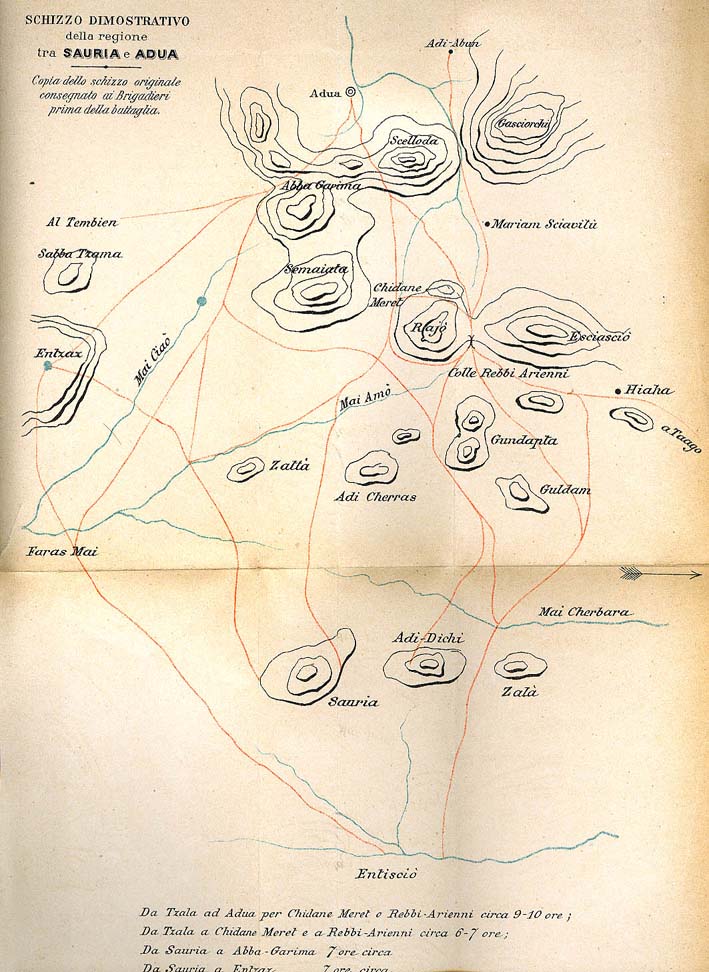

Adwa map
An 1890s Italian map of Adwa or Adua
- Date
- 1890
- Mapmaker / publisher
- Da O. Baratieri, Memorie d’Africa (1892-1896), Torino, Fratelli Bocca, 1898 (l’orientamento della mappa ha l’Ovest in alto)
- Place
- Ethiopia
- Archive
- Wikimedia Commons
- Type
- map
- Original size
- 709 × 972 pixels
Public domain
Reason: its maker died long enough ago that the copyright has expired.
This status rests on the map's publication history, as researched by Wikimedia Commons. Check it before commercial use.
Read from: Commons licence category: PD Old; no CC BY, CC BY-SA, GFDL or deletion tag on the file page.
Credit line
"Adwa map" (1890). Da O. Baratieri, Memorie d’Africa (1892-1896), Torino, Fratelli Bocca, 1898 (l’orientamento della mappa ha l’Ovest in alto), via Wikimedia Commons. Public domain. https://commons.wikimedia.org/wiki/File:Adwa_map.jpgNeed maps for a whole project? Add Find Any Map to Claude and ask for this one by its id: 238851.
More like this

Adwa Map Menelik progression before battle of Adwa
1896 · Wikimedia Commons

AFR V1 D224 Adua and Aksum
June 12, 1890 · Wikimedia Commons

Schizzo del Co-Hàin, tracciato sul disegno del Cap. N. Gentile
1894 · Wikimedia Commons

AFR V1 D173 Northern Abyssinia (Ethiopia)
June 12, 1890 · Wikimedia Commons

Map of trade routes across Ethiopia
1892 · Wikimedia Commons

R. Maha-bar ed il Monte Bizen presi daglio schizzi del capitano Betteni e dalla Carta topografica militare all'
1893 · Wikimedia Commons

Carta dimostrativa della Etiopia, in 6 fogli e 2 aggiunte alla scala di 1 000 000
1894 · 9 sheets

Map of Abyssinia and the Surrounding Countries
1892 · Wikimedia Commons