

Map of Absheron peninsula 1899 (Zire cropped)
Map of Absheron peninsula 1899
- Date
- 1899
- Mapmaker / publisher
- Dmitriev
- Place
- Baku Governorate
- Archive
- Library of Congress (via Wikimedia Commons)
- Type
- map
- Original size
- 715 × 838 pixels
Public domain
Reason: public domain: RusEmpire.
This status rests on the map's publication history, as researched by Wikimedia Commons. Check it before commercial use.
Read from: Commons licence category: PD-RusEmpire; no CC BY, CC BY-SA, GFDL or deletion tag on the file page.
Credit line
"Map of Absheron peninsula 1899 (Zire cropped)" (1899). Dmitriev. Library of Congress, Geography and Map Division, via Wikimedia Commons. Public domain. https://commons.wikimedia.org/wiki/File:Map_of_Absheron_peninsula_1899_(Zire_cropped).jpgNeed maps for a whole project? Add Find Any Map to Claude and ask for this one by its id: 15258.
More like this

Map of Absheron peninsula 1899
1899 · Library of Congress

Map of Absheron peninsula 1899 (Baku cropped)
1899 · Library of Congress

Absheron peninsula and islands
1954 · Wikimedia Commons

Karta Apsheronskago poluostrova Bakinskoĭ gubernīi i ui︠e︡zda - s oboznachenīem granit︠s︡ po sudebnomy mezhevanīi︠u︡, a takzhe i drugikh svi︠e︡di︠e︡nīĭ
1899 · Library of Congress

Ethnographic map of the Baku Governorate
1902 · Wikimedia Commons

Baku 1898 plan
1898–1992 · Wikimedia Commons

Shipilovka map 1890
1860–1890 · Wikimedia Commons
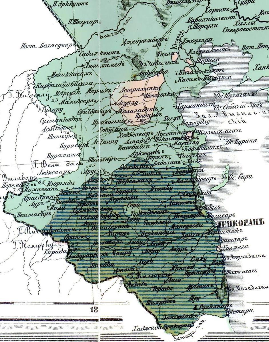
Этнографическая карта Ленкоранского уезда (1880 г.)
1880 · Wikimedia Commons