

Map depicting the Ottoman Empire at its greatest extent, in 1683.
- Date
- December 21, 2006
- Mapmaker / publisher
- Atilim Gunes Baydin
- Place
- Egypt
- Archive
- Wikimedia Commons
- Type
- map
- Original size
- 1,966 × 1,850 pixels
Public domain
Reason: public domain: self.
This status rests on the map's publication history, as researched by Wikimedia Commons. Check it before commercial use.
Read from: Commons licence category: PD-self; no CC BY, CC BY-SA, GFDL or deletion tag on the file page.
Credit line
"Map depicting the Ottoman Empire at its greatest extent, in 1683." (December 21, 2006). Atilim Gunes Baydin, via Wikimedia Commons. Public domain. https://commons.wikimedia.org/wiki/File:OttomanEmpireIn1683.pngNeed maps for a whole project? Add Find Any Map to Claude and ask for this one by its id: 296975.
More like this

Ottoman Empire 1914 h
January 13, 2011 · Wikimedia Commons

Map of Egypt, 1683
1683–1719 · Wikimedia Commons

Cedid Atlas (Egypt) 1803
1803 · Wikimedia Commons
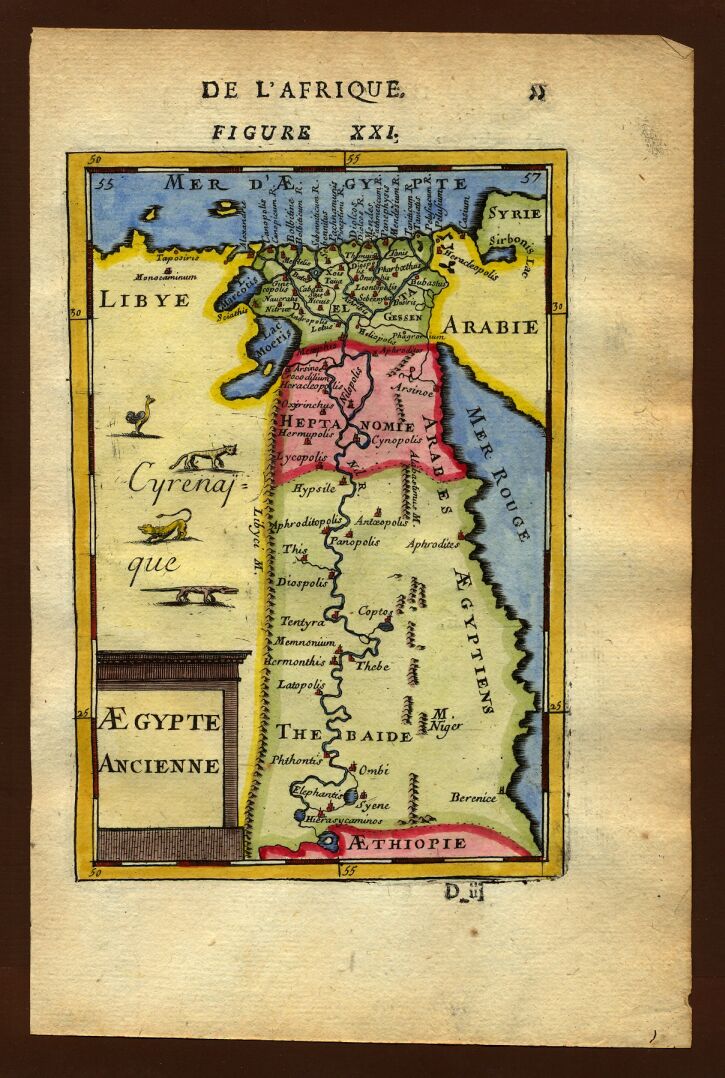
Map of ancient Egypt, 1683
1683–1719 · Wikimedia Commons

Map of ancient Egypt, 1685
1683–1719 · Wikimedia Commons

Cedid Atlas (Africa) 1803-Cezayir Eyalet
1803 · Wikimedia Commons

Egypt. Herman Moll. The Turkish Empire in Europe, Asia and Africa. 1752
1752 · Wikimedia Commons

C. 1893 Southeastern Europe and Asia Minor (1683-1893)
c. 1911 · Wikimedia Commons