

Map depicting the attack plan for Operation Crusader, 17 November 1941
- Date
- July 2, 2009
- Mapmaker / publisher
- Farawayman
- Archive
- Wikimedia Commons
- Type
- map
- Original size
- 1,794 × 1,216 pixels
Public domain
Reason: public domain: user.
This status rests on the map's publication history, as researched by Wikimedia Commons. Check it before commercial use.
Read from: Commons licence category: PD-user; no CC BY, CC BY-SA, GFDL or deletion tag on the file page.
Credit line
"Map depicting the attack plan for Operation Crusader, 17 November 1941" (July 2, 2009). Farawayman, via Wikimedia Commons. Public domain. https://commons.wikimedia.org/wiki/File:CrusaderPlan.jpgNeed maps for a whole project? Add Find Any Map to Claude and ask for this one by its id: 24209.
More like this

Map of siege of Tobruk 1942
May 27, 1942 · Wikimedia Commons

Ww2 map33
Wikimedia Commons

Delville Wood 16 July 1916
1916 · Wikimedia Commons

El Alamein dispositions Oct 1942
July 13, 2009 · Wikimedia Commons

AfricaMap3
Wikimedia Commons
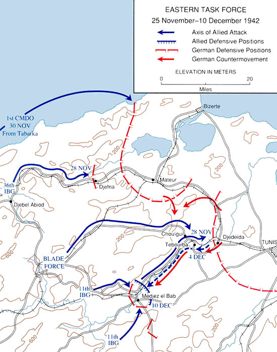
Tunisia25Novto10Dec1942
Wikimedia Commons

Powles pp.128–9 sit.7.11.17
1922 · Wikimedia Commons
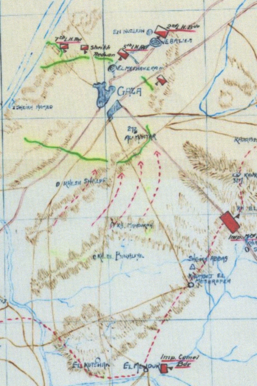
Sketch Map of the 1st Battle of Gaza at 14:00;Other information: Australian Government publication
1917 · Wikimedia Commons