

Luxoro Atlas sheets 1 & 2
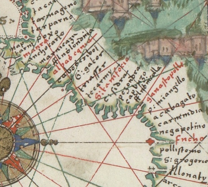
The first two sheets of the eight-sheet Tammar Luxoro Atlas, a set of anonymous Italian portolan charts, believed to have been made by the Venetian cartographer Francesco de Cesanis, sometime before 1421, and held by the Biblioteca Civica Berio in Genoa, Italy.; Sheet 1 (oriented with South on top) depicts north Atlantic (southern England, France, northern Spain); Sheet 2 (oriented with East on top) depicts southern Spain, the Balearic islands and northwest Africa.
- Date
- c. 1421
- Mapmaker / publisher
- Anonymous (attrib. Francesco de Cesanis)
- Archive
- Wikimedia Commons
- Type
- atlas page
- Original size
- 680 × 490 pixels
Public domain
Reason: its maker died long enough ago that the copyright has expired.
This status rests on the map's publication history, as researched by Wikimedia Commons. Check it before commercial use.
Read from: Commons licence category: PD Old; no CC BY, CC BY-SA, GFDL or deletion tag on the file page.
Credit line
"Luxoro Atlas sheets 1 & 2" (c. 1421). Anonymous (attrib. Francesco de Cesanis), via Wikimedia Commons. Public domain. https://commons.wikimedia.org/wiki/File:Luxoro_Atlas_sheets_1_%26_2.jpgNeed maps for a whole project? Add Find Any Map to Claude and ask for this one by its id: 141518.
More like this

Nautical chart of the Mediterranean area, including Europe with British Isles and part of Scandinavia. HM 1548. anonymous, PORTOLAN CHART (Italy, 15th century).I
1492 · Wikimedia Commons

Nordenskiöld 1897 Plate 10 Images 261 262
1897 · Library of Congress

Europe and northern Africa. HM 29. PORTOLAN ATLAS, anonymous (Dieppe, 1547).F
1547 · Wikimedia Commons
Europe and northern Africa. HM 29. PORTOLAN ATLAS, anonymous (Dieppe, 1547).G
1547 · Wikimedia Commons

Atlantic map from Pietro Vesconte 1325 atlas
c. 1325 · Wikimedia Commons

Catalonia. Nautical chart of the Mediterranean area, including Europe with British Isles and part of Scandinavia. HM 1548. anonymous, PORTOLAN CHART (Italy, 15th century).O
1492 · Wikimedia Commons

(Portolan chart of the Mediterranean, the Black Sea, and the coasts of Europe and northwest Africa).
Library of Congress

Portolan chart of the Mediterranean Sea, the North Atlantic Ocean, the Black Sea, and the northwestern African coast.Attributed to the circle of Vesconte Maggiolo
c. 1550 · Wikimedia Commons