

Luxembourg World War I labelled
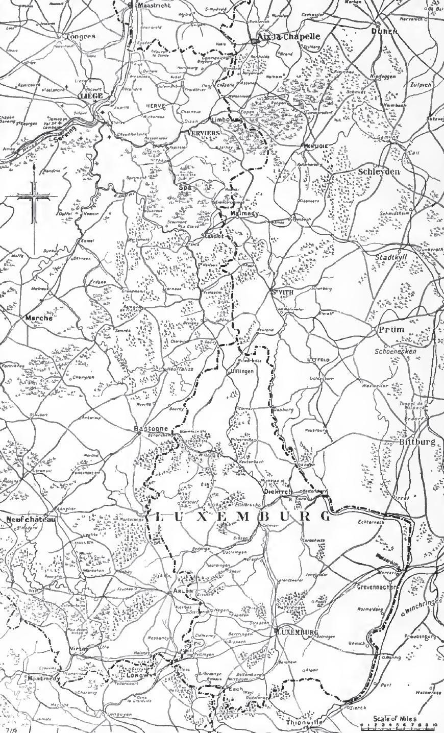
A map of Luxembourg, with some urban areas marked in salmon. These urban areas, from north to south, are: Troisvierges, Wiltz, Diekirch, Ettelbruck, Echternach, Wasserbillig, Steinfort, Luxembourg City, Remich, Differdange, Esch-sur-Alzette, Dudelange, and Rumelange. Some of these towns were chosen (to be demarcated) to suit the purposes of the article w:German occupation of Luxembourg in World War I, so should not be seen as being the largest towns in the country.
- Date
- August 15, 2006
- Mapmaker / publisher
- Bastin
- Archive
- Wikimedia Commons
- Type
- map
- Original size
- 547 × 732 pixels
Public domain
Reason: public domain: self.
This status rests on the map's publication history, as researched by Wikimedia Commons. Check it before commercial use.
Read from: Commons licence category: PD-self; no CC BY, CC BY-SA, GFDL or deletion tag on the file page; permission field: Released into the public domain. See licence below..
Credit line
"Luxembourg World War I labelled" (August 15, 2006). Bastin, via Wikimedia Commons. Public domain. https://commons.wikimedia.org/wiki/File:Luxembourg_World_War_I_labelled.pngNeed maps for a whole project? Add Find Any Map to Claude and ask for this one by its id: 23185.
More like this
Luxenbourg area, 1914
1914 · Wikimedia Commons

Luxembourg
1695 · Wikimedia Commons

Pg010 Grand-duché de Luxembourg
1885 · Wikimedia Commons

Réseau de la Woëvre on map showing daily position of front line, Map Room G-3, G.H.Q., May 24, 1919
1918 · Library of Congress

The Battle of the Frontiers - Mulhouse and Lorraine
Wikimedia Commons

Map of Luxembourg and southern Belgium 1914
1914 · Wikimedia Commons
Amel bis Trier ca 1700-50
1700 · Wikimedia Commons

Moselle-Meuse frontier fortifications, 1914
1914 · Wikimedia Commons