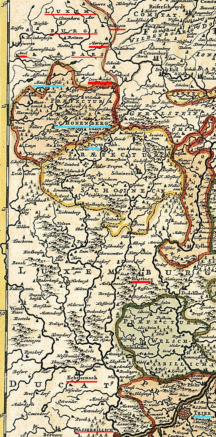

Amel bis Trier ca 1700-50
- Date
- 1700
- Mapmaker / publisher
- officina Frederici de Wit (1630–1706); officina I. Cóvens et C. Mortier, zwischen 1721 und 1778 (Nachdruck oder Überarbeitung?); Digitalisierung: Universität Basel (?); Tilling the image together by
- Place
- Luxembourg
- Archive
- Wikimedia Commons
- Type
- map
- Original size
- 757 × 1,532 pixels
Public domain
Reason: its maker died more than 70 years ago.
This status rests on the map's publication history, as researched by Wikimedia Commons. Check it before commercial use.
Read from: Commons licence category: PD-old-70-expired; no CC BY, CC BY-SA, GFDL or deletion tag on the file page.
Credit line
"Amel bis Trier ca 1700-50" (1700). officina Frederici de Wit (1630–1706); officina I. Cóvens et C. Mortier, zwischen 1721 und 1778 (Nachdruck oder Überarbeitung?); Digitalisierung: Universität Basel (?); Tilling the image together by, via Wikimedia Commons. Public domain. https://commons.wikimedia.org/wiki/File:Amel_bis_Trier_ca_1700-50.jpgNeed maps for a whole project? Add Find Any Map to Claude and ask for this one by its id: 251087.
More like this

Archiepiscopatus Trevirensis descriptio nova
1600–1699 · Plate 1 of 2

Archiepiscopatus Trevirensis
1600–1699 · Plate 1 of 2

ARCHIEPISCOPATUS et ELECTORATUS TREVIRENSIS Novissima delineatio Exacte divisa in Omnes Suas PRAEFECTURAS in hac quoq: Tabula accurate describiturr EYFALIA TRACTUS
1688 · Wikimedia Commons

Archiepiscopatus Trevirensis recentissima delineatio
c. 1690 · 2 sheets

Treverensis regio archiepiscopatus electoratusque titulô insignus
c. 1715 · Wikimedia Commons

Archiepiscopatus Trevirensis
1648 · Plate 1 of 2

Archiepiscopatus Trevirensis
1640 · Plate 2 of 3

Carte du gouvernement de Trêves
Wikimedia Commons