

Livingstone falls map
Map of the Livingstone Falls rapids section of the lower Congo River (circa 1890).:*Upper right corner shows the downriver end of the Pool Malebo, with Kinshasa and Brazzaville on opposite shores.
- Date
- 1890
- Place
- the Congo Free State
- Archive
- Wikimedia Commons
- Type
- map
- Original size
- 655 × 618 pixels
Public domain
Reason: its maker died long enough ago that the copyright has expired.
This status rests on the map's publication history, as researched by Wikimedia Commons. Check it before commercial use.
Read from: Commons licence category: PD Old; no CC BY, CC BY-SA, GFDL or deletion tag on the file page; permission field: old image.
Credit line
"Livingstone falls map" (1890). Wikimedia Commons. Public domain. https://commons.wikimedia.org/wiki/File:Livingstone_falls_map.jpgNeed maps for a whole project? Add Find Any Map to Claude and ask for this one by its id: 237558.
More like this
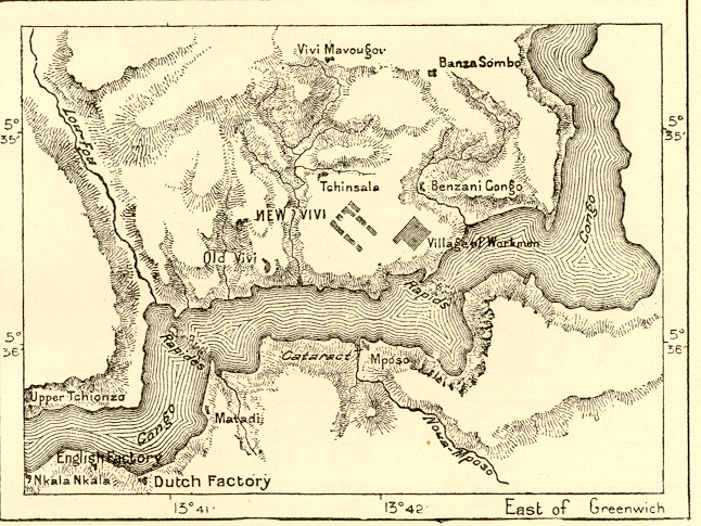
map of:fr:Vivi and:fr:Matadi around 1890
1890 · Wikimedia Commons

Stanley Falls Map
Wikimedia Commons

AFR V3 D522 Last Rapids of the Congo
June 12, 1892 · Wikimedia Commons

AFR V3 D558 Stanley Falls
June 12, 1892 · Wikimedia Commons

AFR V3 D542 Lake Bangwelo and the Lower Lua Laba according to Livingstone
June 12, 1892 · Wikimedia Commons

AFR V3 D603 Map of Congo right panel
June 12, 1892 · Wikimedia Commons

Congo River from its Mouth to Bolobo to illustrate the journeys of Mr. H. H. Johnston
1883 · Wikimedia Commons

Map of explorer's journey
Wikimedia Commons