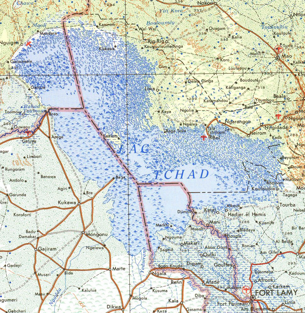

Lake Chad 1973
- Date
- 1973
- Place
- Cameroon
- Archive
- Wikimedia Commons
- Type
- map
- Original size
- 971 × 997 pixels
Public domainsafest
Reason: a US government work (US Army).
Read from: Commons licence category: PD US Army; no CC BY, CC BY-SA, GFDL or deletion tag on the file page.
Credit line
"Lake Chad 1973" (1973). Wikimedia Commons. Public domain. https://commons.wikimedia.org/wiki/File:Lake_Chad_1973.jpgNeed maps for a whole project? Add Find Any Map to Claude and ask for this one by its id: 237612.
More like this

Chad-Nigeria border map
Wikimedia Commons

Maps of the world's nations.
1976 · Chad, plate 13

Cameroon-Chad boundary map
1970 · Wikimedia Commons

Cameroon-Gabon border
September 24, 1971 · Wikimedia Commons

Stielers Handatlas 1891 68 Tsad-See
1891 · Wikimedia Commons

Chad - (administrative divisions).
1977 · Library of Congress

Nigéria, Cameroun, Congo-français / d'après les levées de l'expédition Alexander-Gosling (1904-1905) d'Ibi au Tchad, les cartes du Tchad du Capitaine Tilho (1904) et de H. de Marquardsen (1905), les cartes du Bassin du Logone de Max Moisel (1905) et de Georges Bruel (1905).; Dressé par M. Chesnea
1905 · Cameroon, plate 1 of 2

Burkina Faso-Niger border
November 18, 1974 · Wikimedia Commons