

Cameroon-Chad boundary map
- Date
- 1970
- Mapmaker / publisher
- US DOS
- Place
- Africa
- Archive
- Wikimedia Commons
- Type
- map
- Original size
- 766 × 1,064 pixels
Public domainsafest
Reason: public domain: US DOS.
Read from: Commons licence category: PD US DOS; no CC BY, CC BY-SA, GFDL or deletion tag on the file page.
Credit line
"Cameroon-Chad boundary map" (1970). US DOS, via Wikimedia Commons. Public domain. https://commons.wikimedia.org/wiki/File:Cameroon-Chad_boundary_map.pngNeed maps for a whole project? Add Find Any Map to Claude and ask for this one by its id: 236362.
More like this

Map of the Central African Republic-Cameroon border
1970 · Wikimedia Commons
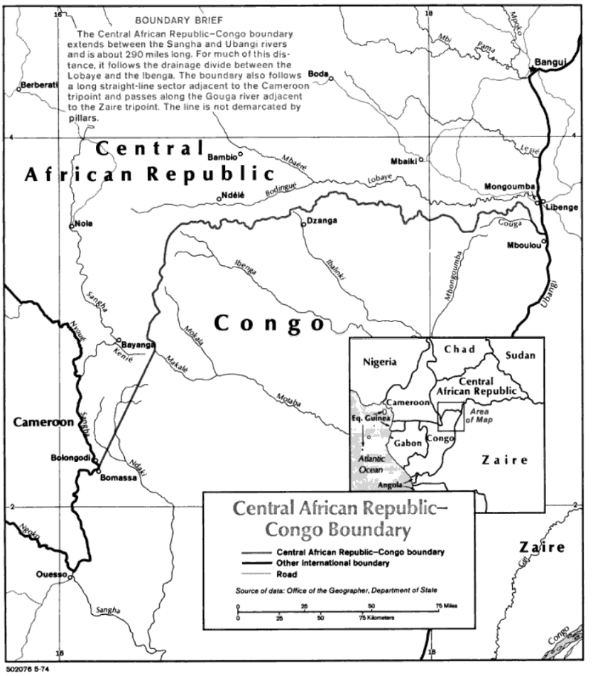
CAR-PR Congo border map
Wikimedia Commons

Niger-Nigeria border map
1970 · Wikimedia Commons

Chad-Niger boundary.
1966 · Library of Congress

Dahomey-Niger boundary.
1973 · Library of Congress

Central African Republic-Chad boundary.
1968 · Library of Congress

Chad-Nigeria border map
Wikimedia Commons

Chad-Libya boundary.
1978 · Library of Congress