

La salle expedition
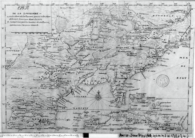
a map showing the route believed to be of the expeditions of La Salle. Because of the ambiguity of the region at the time, the exact course of some parts of his travels are unknown
- Mapmaker / publisher
- Charles Edward
- Place
- North America
- Archive
- Wikimedia Commons
- Type
- map
- Original size
- 871 × 736 pixels
Public domain
Reason: public domain: self.
This status rests on the map's publication history, as researched by Wikimedia Commons. Check it before commercial use.
Read from: Commons licence category: PD-self; no CC BY, CC BY-SA, GFDL or deletion tag on the file page.
Credit line
"La salle expedition". Charles Edward, via Wikimedia Commons. Public domain. https://commons.wikimedia.org/wiki/File:La_salle_expedition.jpgNeed maps for a whole project? Add Find Any Map to Claude and ask for this one by its id: 293906.
More like this

1674 Carte de La Louisiane (1900 Jesuit Relations edition)
1674 · Wikimedia Commons

Map The Coronado Expedition 1541 Routes in a zone of uncertainty
January 2, 1992 · Wikimedia Commons

Côtes des environs de la rivière Mississippi en 1701
1701 · Wikimedia Commons
1683 LaSalle, Carte de la Louisiane
1684 · Wikimedia Commons

Carte de la Nouvelle France et de la Louisiane nouvellement découverte
1683 · Wikimedia Commons

United States exploration routes 1501-1844
1501 · Library of Congress

Claude Bernou Carte de lAmerique septentrionale
c. 1681 · Wikimedia Commons

A Map of Louisiana and of the River Mississippi.
1721 · Library of Congress