
Jimmy Carter and National Security Advisor Zbigniew Brzezinski
- Date
- April 19, 1977
- Archive
- U.S. National Archives (via Wikimedia Commons)
- Type
- map
- Original size
- 3,000 × 2,051 pixels
Public domain
Reason: a US government work.
This status rests on the map's publication history, as researched by Wikimedia Commons. Check it before commercial use.
Read from: Commons licence category: PD US Government; no CC BY, CC BY-SA, GFDL or deletion tag on the file page; Commons tags it as a US government work, but its record names no government maker.
Credit line
"Jimmy Carter and National Security Advisor Zbigniew Brzezinski" (April 19, 1977). U.S. National Archives, via Wikimedia Commons. Public domain. https://commons.wikimedia.org/wiki/File:Jimmy_Carter_and_National_Security_Advisor_Zbigniew_Brzezinski_-_NARA_-_174445.tifNeed maps for a whole project? Add Find Any Map to Claude and ask for this one by its id: 144543.
More like this

COMMUNICATIONS TECHNOLOGY SATELLITE CTS GLOBE
May 26, 1976 · U.S. National Archives

Geography Class in the Affiliated High School of Taiwan Provincial Normal School
1950–1951 · Wikimedia Commons

Celestial globe by John Senex, before 1740, with additions by Benjamin Martin, London, 1757 - Putnam Gallery - Harvard University - DSC07939
1740 · Wikimedia Commons

Political map of the world, September 1987.
1987 · Library of Congress

James Wilson's globe 1811
1810–1811 · Wikimedia Commons

EB 1911 Map Fig 17
c. 1911 · Wikimedia Commons

Monachus 1527 globe map 03
October 31, 1527 · Wikimedia Commons
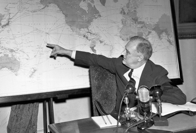
President Roosevelt, in the Oval Room of the White House, refers to his own map as he emphasizes a point in his radio address to the people Roosevelt's fireside chat was presented February 23, 1942. I
February 23, 1942 · Library of Congress