

EB 1911 Map Fig 17
Caption: " —Globe in Bibliothèque Nationale, Paris". A brass Arabian celestial globe held by the French National Library (N. Res. Ge. A 325, 18.3 cm diameter, 35 cm tall). The globe is among the oldest surviving from the Arab world. It depicts the ecliptic and celestial equator (inclined relative to one another at about 23½°), graduated every 5° around their circumference. It also bears 1,004 stars arranged into 47 or 48 constellations from Ptolemy's Almagest and the (B Group) Book of the Fixed Stars of ʿAbd al-Raḥmān b. ʿUmar al-Ṣūfī with descriptions in Kufic script. It was acquired for the library by "Jomard" in Egypt around 1860, although it is now credited to Ibrāhīm ibn Saʿīd al-Sahlī, an astronomer of Muslim Spain. The simple stand is a later creation.
- Date
- c. 1911
- Mapmaker / publisher
- Presumably Emery Walker
- Archive
- Wikimedia Commons
- Type
- chart
- Original size
- 1,184 × 1,394 pixels
Public domain
Reason: a US government work.
This status rests on the map's publication history, as researched by Wikimedia Commons. Check it before commercial use.
Read from: Commons licence category: PD US; no CC BY, CC BY-SA, GFDL or deletion tag on the file page; permission field: PD-US; PD-Britannica.
Credit line
"EB 1911 Map Fig 17" (c. 1911). Presumably Emery Walker, via Wikimedia Commons. Public domain. https://commons.wikimedia.org/wiki/File:EB_1911_Map_Fig_17.pngNeed maps for a whole project? Add Find Any Map to Claude and ask for this one by its id: 103473.
More like this

Jomard Globe céleste arabe-koufique en bronze, du XIe siècle, general and hemisphere views
1864 · Wikimedia Commons

Jomard Globe céleste arabe-koufique en bronze, du XIe siècle, gores
1864 · Wikimedia Commons

Jomard Globe céleste arabe en bronze, fait à la Mecque au XVIe siècle
1864 · Wikimedia Commons

Coronelli celestial globe
Wikimedia Commons

Nordenskiöld 1897 Figure 74 Image 174
1897 · Library of Congress
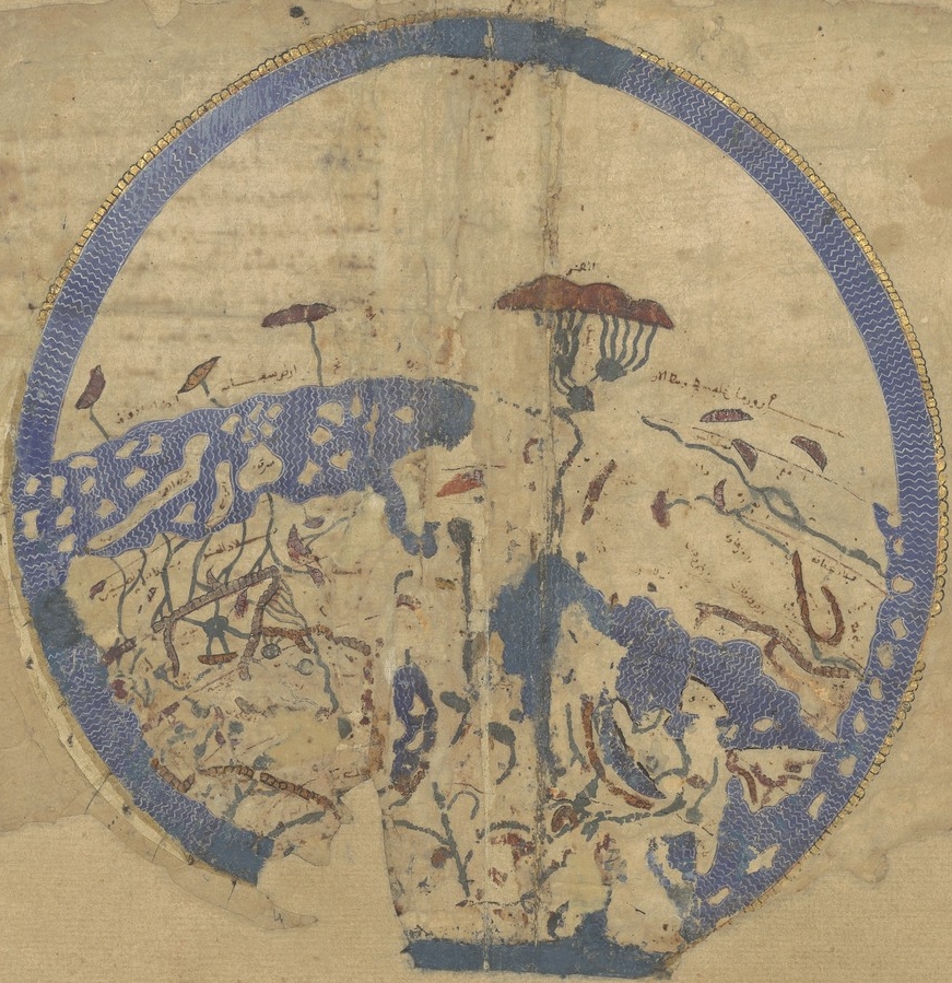
Idrisi MS BNF Ar 2221 f 3v-4r
1250–1325 · Wikimedia Commons

Celestial globe by John Senex, before 1740, with additions by Benjamin Martin, London, 1757 - Putnam Gallery - Harvard University - DSC07939
1740 · Wikimedia Commons

Celestial table globe RMG F7339
c. 1625 · Wikimedia Commons