

Istria (ethnic)-Czörnig
Language map of Istria according to the 1880-census
- Date
- 1887
- Mapmaker / publisher
- Karl von Czoernig-Czernhausen (died 1889), scanned by Moodylo333
- Place
- Europe
- Archive
- Wikimedia Commons
- Type
- map
- Original size
- 515 × 668 pixels
Public domain
Reason: its maker died long enough ago that the copyright has expired.
This status rests on the map's publication history, as researched by Wikimedia Commons. Check it before commercial use.
Read from: Commons licence category: PD Old; no CC BY, CC BY-SA, GFDL or deletion tag on the file page.
Credit line
"Istria (ethnic)-Czörnig" (1887). Karl von Czoernig-Czernhausen (died 1889), scanned by Moodylo333, via Wikimedia Commons. Public domain. https://commons.wikimedia.org/wiki/File:Istria_(ethnic)-Cz%C3%B6rnig.pngNeed maps for a whole project? Add Find Any Map to Claude and ask for this one by its id: 251909.
More like this

Istria (ethnic)
1880 · Wikimedia Commons

Central Europe (ethnic)
19th century · Wikimedia Commons

Sprachenkarte Deutschland1880
1881 · Wikimedia Commons

Königreich Illyrien. Das Gebiet der Stadt Triest in grösserem Maasse
1822–1849 · Wikimedia Commons

Ethnographische Karte der Oesterreichischen Monarchie von Carl Freiherr von Czoernig 1855 Oesterreichische Schlesien
1855 · Wikimedia Commons
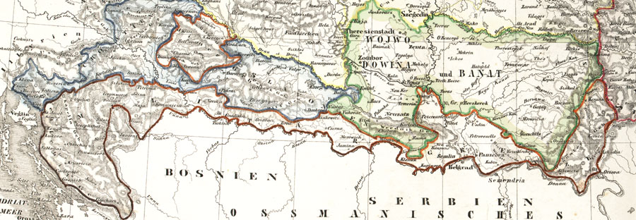
Militargrenze, Wojwodowena und Banat
19th century · Wikimedia Commons

Une vue des langues d'Europe en 1859
1859 · Wikimedia Commons

East European population and languages - Russian map of 1907
1907 · Wikimedia Commons