

Indian Rebellion of 1857
Map, "North India: The Mutiny 1857-9" from "The Cambridge Modern History Atlas". Cambridge University Press; London. 1912. Editors were Sir Adolphus William Ward (†1924), G.W. Prothero (†1922), and Sir Stanley Mordaunt Leathes (†1938). Individual authors of works making up the atlas are not identified, nor are the likely to be, after reasonable research.
- Date
- 1912
- Mapmaker / publisher
- Cambridge University Press; Stanford's Geogl. Estabt
- Place
- India
- Archive
- Wikimedia Commons
- Type
- atlas page
- Original size
- 1,959 × 1,647 pixels
Public domainsafest
Reason: its maker died more than 100 years ago.
Read from: Commons licence category: PD-old-100-expired; no CC BY, CC BY-SA, GFDL or deletion tag on the file page.
Credit line
"Indian Rebellion of 1857" (1912). Cambridge University Press; Stanford's Geogl. Estabt, via Wikimedia Commons. Public domain. https://commons.wikimedia.org/wiki/File:Indian_Rebellion_of_1857.jpgNeed maps for a whole project? Add Find Any Map to Claude and ask for this one by its id: 255446.
More like this

IGI1908India1857b-coloured Himalayan hill stations
1908 · Wikimedia Commons

NWIndia 1857 imperial gazeteer
1909 · Wikimedia Commons

IGI1908India1857b-coloured - Hill Stations
1908 · Wikimedia Commons

Northern India 1857
1857 · Wikimedia Commons

Map of North-Western Provinces shown on that of the United Provinces from personal copy of the Imperial Gazetteer of India, volume 25 (Atlas), 1907. Scanned, labeled, famine region drawn, resized and
1907–2008 · Wikimedia Commons
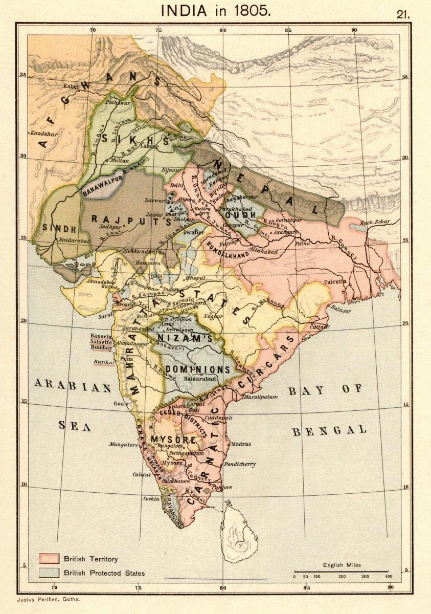
Map of India 1805 from:. Scanned from personal copy, reduced, uploaded by Fowler&fowler «Talk» 23:51, 24 February 2009 (UTC)
1907 · Wikimedia Commons

Map of "North-Western Provinces" from. Scanned from personal copy and uploaded by Fowler&fowler «Talk» 11:40, 7 March 2009 (UTC)
1880 · Wikimedia Commons

EB1911India - map (northern part)
1911 · Wikimedia Commons