

India Map 1860
India in 1860, Blackie and Company, Edinburgh
- Date
- 1860
- Mapmaker / publisher
- Blackie, W. G. (Walter Graham), 1816-1906
- Place
- India
- Archive
- Wikimedia Commons
- Type
- map
- Original size
- 6,320 × 8,320 pixels
Public domain
Reason: a US government work.
This status rests on the map's publication history, as researched by Wikimedia Commons. Check it before commercial use.
Read from: Commons licence category: PD US; no CC BY, CC BY-SA, GFDL or deletion tag on the file page.
Credit line
"India Map 1860" (1860). Blackie, W. G. (Walter Graham), 1816-1906, via Wikimedia Commons. Public domain. https://commons.wikimedia.org/wiki/File:India_Map_1860.pngNeed maps for a whole project? Add Find Any Map to Claude and ask for this one by its id: 255473.
More like this

From 'The Imperial Atlas of Modern Geography' by Blackie and Son, London, 1860 (drawn by J. and C. Walker)
1860 · Wikimedia Commons

Map of British India and the Straits Settlements
1860 · Wikimedia Commons
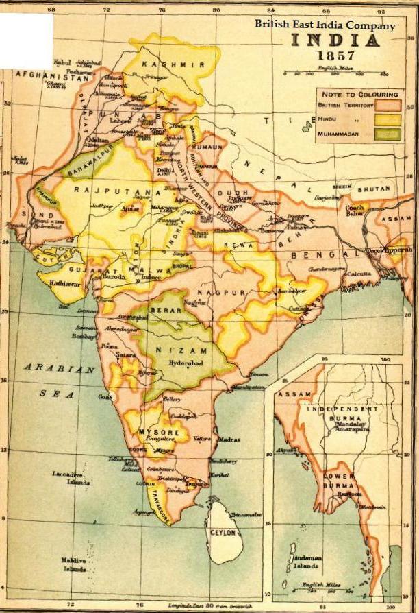
Map BEIC 1857
1857 · Wikimedia Commons

India. Edinburgh, Published by A. &. C. Black. Engraved by S. Hall, Bury Strt. Bloomsbry.
Wikimedia Commons

Railway map of India 1870
1870 · Wikimedia Commons
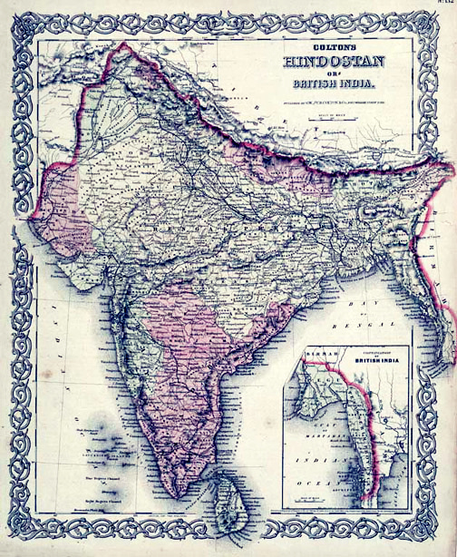
Map of British India, 1855. Published by G. W. and C. B. Colton and Company in New York, 1855. It was derived from an earlier wall map of the world produced by Colton and D. Griffing Johnson. Covers t
1855 · Wikimedia Commons

Greenough Geology India 1855
1855 · Wikimedia Commons

British India John Tallis
1851 · Wikimedia Commons