

Imbris 1829 year map
- Date
- 1829
- Mapmaker / publisher
- k.k. Oberstlieutenant Franz von Weiss
- Place
- the Aegean Sea
- Archive
- Wikimedia Commons
- Type
- map
- Original size
- 3,714 × 2,472 pixels
Public domain
Reason: its maker died long enough ago that the copyright has expired.
This status rests on the map's publication history, as researched by Wikimedia Commons. Check it before commercial use.
Read from: Commons licence category: PD Old; no CC BY, CC BY-SA, GFDL or deletion tag on the file page.
Credit line
"Imbris 1829 year map" (1829). k.k. Oberstlieutenant Franz von Weiss, via Wikimedia Commons. Public domain. https://commons.wikimedia.org/wiki/File:Imbris_1829_year_map.jpgNeed maps for a whole project? Add Find Any Map to Claude and ask for this one by its id: 242078.
More like this
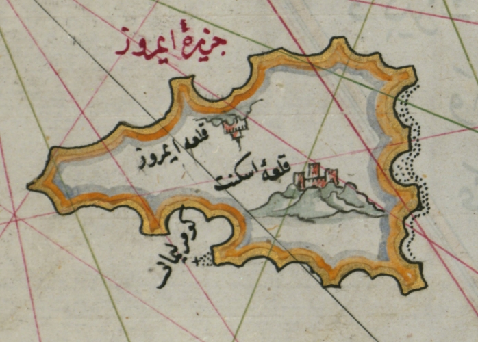
Piri Reis Imroz
1555 · Wikimedia Commons

Map of the Upper Aegean Sea with the Islands of Imbros and Bozca
Piri Reis

9 - Marmara Meer, Lesbos; Scheda-Karte europ Türkei
1860–1870 · Wikimedia Commons

Insulæ Maris Ægæi
Wikimedia Commons

Map of the Islands of Semendrek and Imroz in the Aegean Sea
Piri Reis

Andros Island-1844
1844 · Wikimedia Commons

Kapıdağ Peninsula - 9 - Marmara Meer, Lesbos; Scheda-Karte europ Türkei
1860–1870 · Wikimedia Commons

1853 Carte de l'Archipel
1853 · Wikimedia Commons