

Harpers Ferry Battlefield West Virginia
Map of battlefield core and study areas. The Core Area was expanded to include more of Maryland Heights (to take in the first line of Federal defense and engagement with Brig. Gen. Samuel Kershaw’s South Carolina brigade), the western slopes of Schoolhouse Ridge, and the area around Millville. The Study Area was enlarged to include all national park lands related to the battle (excising only Short Hill) and to include the expanded portions of the Core Area.
- Date
- February 2, 2010
- Mapmaker / publisher
- American Battlefield Protection Program
- Place
- West Virginia
- Archive
- Wikimedia Commons
- Type
- map
- Original size
- 1,610 × 1,240 pixels
Public domainsafest
Reason: a US government work.
Read from: Commons licence category: PD US Government; no CC BY, CC BY-SA, GFDL or deletion tag on the file page.
Credit line
"Harpers Ferry Battlefield West Virginia" (February 2, 2010). American Battlefield Protection Program, via Wikimedia Commons. Public domain. https://commons.wikimedia.org/wiki/File:Harpers_Ferry_Battlefield_West_Virginia.jpgNeed maps for a whole project? Add Find Any Map to Claude and ask for this one by its id: 1219.
More like this

Rich Mountain Battlefield West Virginia
February 2, 2010 · Wikimedia Commons

Summit Point Battlefield West Virginia
February 2, 2010 · Wikimedia Commons

Hancock Battlefield Maryland
January 21, 2010 · Wikimedia Commons

Cheat Mountain Battlefield West Virginia
February 2, 2010 · Wikimedia Commons
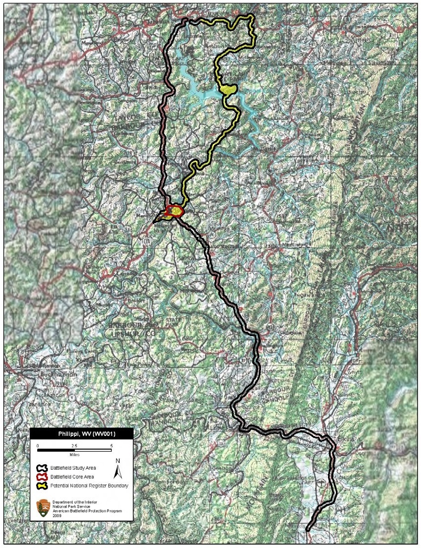
Philippi Battlefield West Virginia
February 2, 2010 · Wikimedia Commons

Shepherdstown Battlefield West Virginia
February 2, 2010 · Wikimedia Commons

Rocky Face Ridge Battlefield Georgia
June 23, 2010 · Wikimedia Commons

Hoke's Run Battlefield West Virginia
February 2, 2010 · Wikimedia Commons