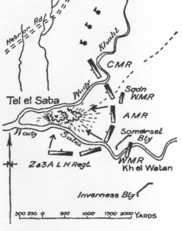

GullettCh23p.390Tel elSaba
Gullett's Sketch Map on page 390 of the Tel el Saba attack
- Date
- 1941
- Mapmaker / publisher
- H. S. Gullett
- Place
- Palestine
- Archive
- Wikimedia Commons
- Type
- map
- Original size
- 775 × 983 pixels
Public domain
Reason: public domain: Australia.
This status rests on the map's publication history, as researched by Wikimedia Commons. Check it before commercial use.
Read from: Commons licence category: PD-Australia; no CC BY, CC BY-SA, GFDL or deletion tag on the file page.
Credit line
"GullettCh23p.390Tel elSaba" (1941). H. S. Gullett, via Wikimedia Commons. Public domain. https://commons.wikimedia.org/wiki/File:GullettCh23p.390Tel_elSaba.jpegNeed maps for a whole project? Add Find Any Map to Claude and ask for this one by its id: 11125.
More like this

Gullett Map16GazaBeersheba
1941 · Wikimedia Commons

Detail of 4th Light Horse Brigade War Diary Map
c. 1917 · Wikimedia Commons

Sketch map of Beersheba charge in 4th Light Horse Brigade War Diary
1918 · Wikimedia Commons

Powles pp.48-9 Magdhaba
1922 · Wikimedia Commons

Powles pp.112-3sit.29.10.17
1922 · Wikimedia Commons

Sketch Map of Shellal, Tel el Fara and Gamli showing trenches partly built by the Anzac Mounted Division.
1917 · Wikimedia Commons

Map of Beersheba position at dusk on 31 October 1917
1941 · Wikimedia Commons

Powles pp.144-5 Ayun Kara map
1922 · Wikimedia Commons