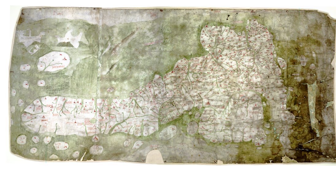

GoughMap ca 1360
The Gough Map or Bodleian Map is a road map of Great Britain, dating from around 1360. The Gough Map is the oldest extant map of the roads of medieval Britain. It is about 115 x 56cm large and was made around 1360. It is named after Richard Gough, who donated the map to the Bodleian Library in 1809. East is on the top.
- Date
- 1370
- Archive
- Wikimedia Commons
- Type
- map
- Original size
- 1,096 × 580 pixels
Public domainsafest
Reason: its maker died more than 100 years ago.
Read from: Commons licence category: PD-old-100-expired; no CC BY, CC BY-SA, GFDL or deletion tag on the file page; permission field: PD-old.
Credit line
"GoughMap ca 1360" (1370). Wikimedia Commons. Public domain. https://commons.wikimedia.org/wiki/File:GoughMap_ca_1360.jpgNeed maps for a whole project? Add Find Any Map to Claude and ask for this one by its id: 245172.
More like this

Gough Kaart (hoge resolutie)
Wikimedia Commons

Roman Roads of Britain - Matthew Paris, Book of Additions (c.1250), f. 187v
c. 1250 · Wikimedia Commons
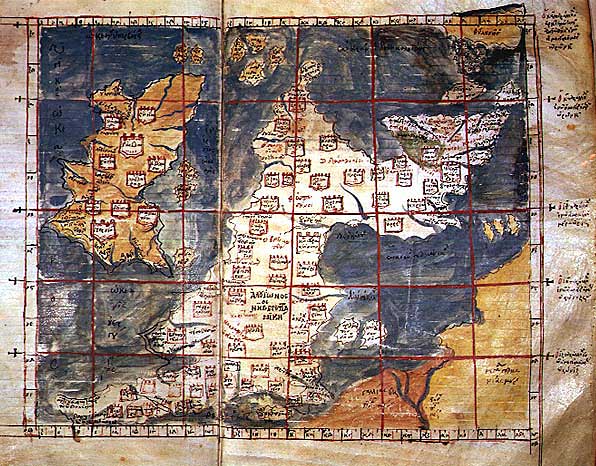
Ptolemaic Britain
Wikimedia Commons

Bodleian-Douce atlas (p.6)
Wikimedia Commons

The Grand Roads of England Shewing All the Towns you Pass thorough and in what Shire they are in with the Reputed distance between Town & Town in Figures with a Mark for the Post-towns and Market-towns and what Day of the Week the market is
1679 · Wikimedia Commons

Saxon England According to the Saxon Chronicle
1806 · Wikimedia Commons

Rex Tholomeus portolan chart
c. 1360 · Wikimedia Commons

A color map (440×365 mm) from William Stukeley's extracts from Charles Bertram's forged account The Description of Britain (Latin: De Situ Britanniae). Text: Mappa Britanniae faciei Romanae secundum f
1757 · Wikimedia Commons