

Fort Reno, Washington, D.C.,1892
Topographic map showing lot lines, buildings, and woods. Covers District of Columbia outside former Washington city limits (Florida Avenue).
- Date
- 1892
- Place
- the Civil War Defenses of Washington, D.C.
- Archive
- Wikimedia Commons
- Type
- map
- Original size
- 1,280 × 1,223 pixels
Public domain
Reason: a US government work.
This status rests on the map's publication history, as researched by Wikimedia Commons. Check it before commercial use.
Read from: Commons licence category: PD US; no CC BY, CC BY-SA, GFDL or deletion tag on the file page.
Credit line
"Fort Reno, Washington, D.C.,1892" (1892). Wikimedia Commons. Public domain. https://commons.wikimedia.org/wiki/File:Fort_Reno,_Washington,_D.C.,1892.jpgNeed maps for a whole project? Add Find Any Map to Claude and ask for this one by its id: 334.
More like this

1892 Map of Rural Area Around Tenley
1892 · Wikimedia Commons

District of Columbia
1892 · Plate 32

Topographic map showing lot lines, buildings, and woods. Covers District of Columbia outside former Washington city limits (Florida Avenue). Relief shown by contours and hachures. Engraver's statement
1892 · Rock Creek Cemetery

Topographical map, 1st Brigade, defenses north of Potomac, Washington, D.C. (West)
1863 · Library of Congress

Topographical map, 1st Brigade, defenses north of Potomac, Washington, D.C.
1863 · Library of Congress
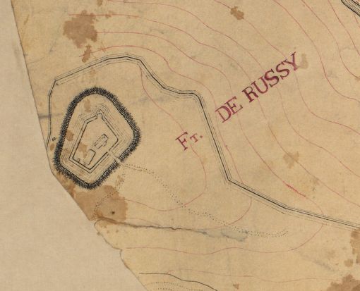
Fort DeRussy — Topographical map, 1st Brigade, defenses north of Potomac, Washington, D.C. (West)
1863 · Library of Congress

Part of the District of Columbia - June 1896
1896 · Library of Congress

Map of the fortifications within the District of Columbia.
1862 · Library of Congress