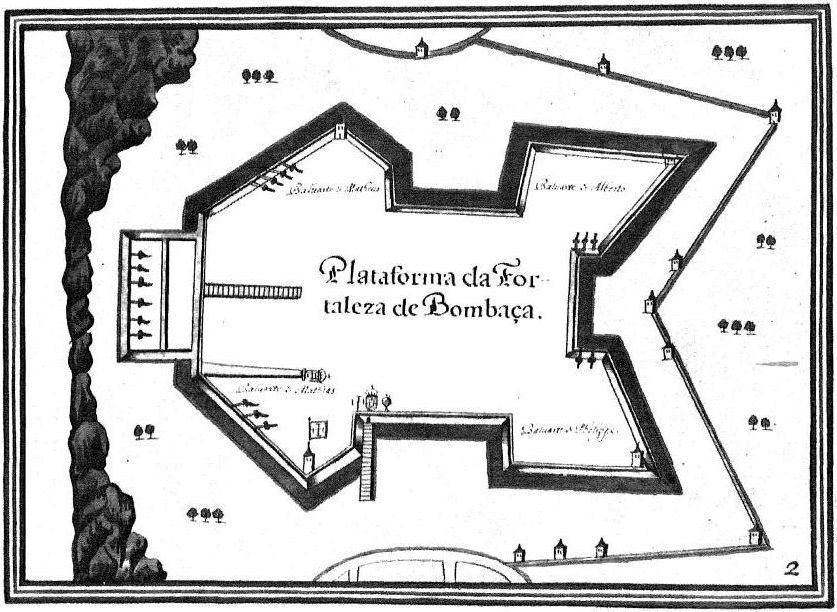

Fort Jesus-Map-XVIIs1
Fort Jesus-Map-XVII
- Mapmaker / publisher
- Ori~
- Place
- Kenya
- Archive
- Wikimedia Commons
- Type
- map
- Original size
- 837 × 612 pixels
Public domain
Reason: its maker died long enough ago that the copyright has expired.
This status rests on the map's publication history, as researched by Wikimedia Commons. Check it before commercial use.
Read from: Commons licence category: PD Old; no CC BY, CC BY-SA, GFDL or deletion tag on the file page.
Credit line
"Fort Jesus-Map-XVIIs1". Ori~, via Wikimedia Commons. Public domain. https://commons.wikimedia.org/wiki/File:Fort_Jesus-Map-XVIIs1.jpgNeed maps for a whole project? Add Find Any Map to Claude and ask for this one by its id: 141630.
More like this

Fort Jesus-Map-XVIIs
Wikimedia Commons
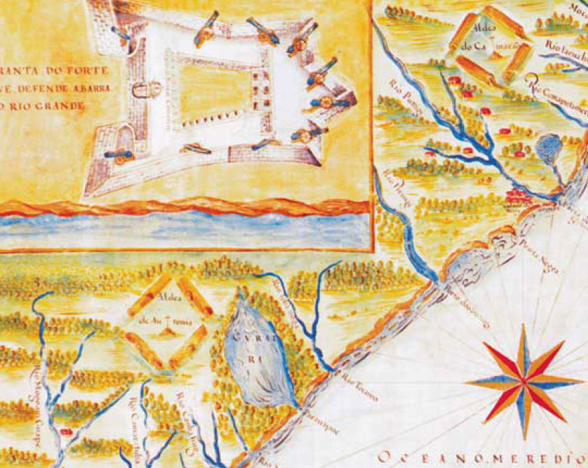
Detail of an early 17th-century map of Rio Grande do Norte in colonial Brazil showing the Reis Magos Fortress
c. 1616 · Wikimedia Commons

Planta norte da cidade do Salvador - Bahia
1612 · Wikimedia Commons

Map of the Fortress of Mozambique with New Works Projected for Better Defense
1741 · Wikimedia Commons

Plantas das cidades, portos, e fortalezas da conquista da India Oriental
1600–1650 · Plate 7 of 61

Map of the fort Real
1625–1635 · Wikimedia Commons

Fortress of Chaul: Plans of Plazas and Forts of Portuguese Possessions in Asia and Africa
1600–1699 · Wikimedia Commons

Map of Portuguese Cochin
1620–1640 · Wikimedia Commons