

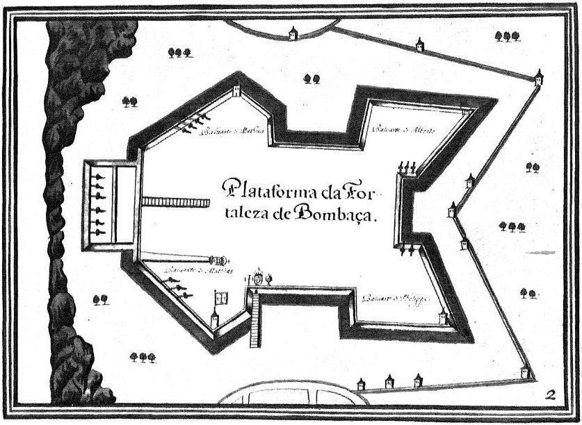
Fort Jesus-Map-XVIIs
- Mapmaker / publisher
- João Teixera
- Place
- Kenya
- Archive
- Wikimedia Commons
- Type
- map
- Original size
- 1,196 × 743 pixels
Public domain
Reason: its maker died long enough ago that the copyright has expired.
This status rests on the map's publication history, as researched by Wikimedia Commons. Check it before commercial use.
Read from: Commons licence category: PD Old; no CC BY, CC BY-SA, GFDL or deletion tag on the file page.
Credit line
"Fort Jesus-Map-XVIIs". João Teixera, via Wikimedia Commons. Public domain. https://commons.wikimedia.org/wiki/File:Fort_Jesus-Map-XVIIs.jpgNeed maps for a whole project? Add Find Any Map to Claude and ask for this one by its id: 141626.
More like this
Fort Jesus-Map-XVIIs1
Wikimedia Commons

Plantas das cidades, portos, e fortalezas da conquista da India Oriental
1600–1650 · Plate 7 of 61

Côte d'Afrique depuis le Golfe Persique jusqu'au cap de Bonne Esperance / Ioaõ Teixeira cosmographo de Sua Magestade
1649 · Plate 1 of 2

Cabo de Santo Agostinho por João Teixeira Albernaz, o Velho
1640 · Wikimedia Commons

Carte de l'Océan Indien / Joao Teixeira
1649 · Plate 1 of 2

Carte de l'Océan Indien / Joaõ Teixeira cosmographo de sua magestade
1649 · Plate 1 of 2

Bahía, 1625, por João Teixeira Albernaz, plataforma de D. Manuel de Meneses
1630 · Wikimedia Commons

Planta da Restituição da BAHIA, por João Teixeira Albernaz
1631 · Wikimedia Commons