

Fool's Cap Map of the World
Fool’s Cap Map of the World, “one of the biggest mysteries in the history of western cartography”. (see source)
- Date
- 1580–1590
- Mapmaker / publisher
- Epichtonius Cosmopolites (pseudonym)
- Archive
- Wikimedia Commons
- Type
- map
- Original size
- 4,000 × 3,056 pixels
Public domainsafest
Reason: its maker died more than 100 years ago.
Read from: Commons licence category: PD-old-100-expired; no CC BY, CC BY-SA, GFDL or deletion tag on the file page.
Credit line
"Fool's Cap Map of the World" (1580–1590). Epichtonius Cosmopolites (pseudonym), via Wikimedia Commons. Public domain. https://commons.wikimedia.org/wiki/File:Fool%27s_Cap_Map_of_the_World.jpgNeed maps for a whole project? Add Find Any Map to Claude and ask for this one by its id: 145512.
More like this

Fool's Cap World Map RMG D2806
1590 · Wikimedia Commons

O caput elleboro dignum Monde dans une tête de fou
1590 · 2 sheets

Wright-Molyneux map from the New York Public Library
c. 1599 · New York Public Library
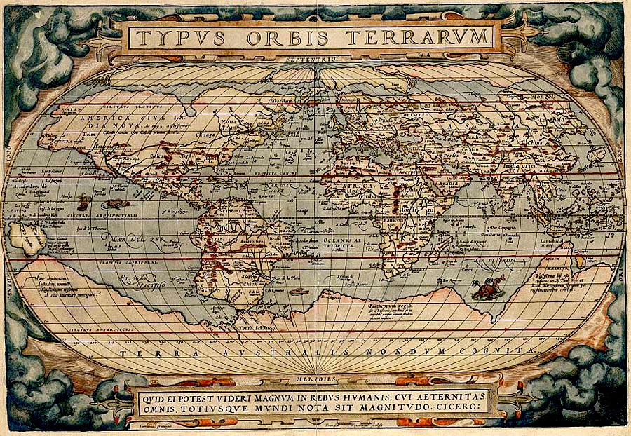
Typus Orbis Terrarum drawn by Abraham Ortelius
1598 · Wikimedia Commons

A Complete Portrayal of the Earth
1795 · Wikimedia Commons

Modern and Complete Map of the Entire World
1531 · Wikimedia Commons

Urbano Monti — World Map as of 1587
1587 · Wikimedia Commons

Durer Stabiussche Weltkarte 1515
December 31, 1515 · Wikimedia Commons