

Dreistädteeinheit Gleiwitz Hindenburg Beuthen Flächennutzungsplan
- Date
- 1929
- Place
- Silesia
- Archive
- Wikimedia Commons
- Type
- map
- Original size
- 4,385 × 3,348 pixels
Public domain
Reason: public domain: author.
This status rests on the map's publication history, as researched by Wikimedia Commons. Check it before commercial use.
Read from: Commons licence category: PD-author; no CC BY, CC BY-SA, GFDL or deletion tag on the file page.
Credit line
"Dreistädteeinheit Gleiwitz Hindenburg Beuthen Flächennutzungsplan" (1929). Wikimedia Commons. Public domain. https://commons.wikimedia.org/wiki/File:Dreist%C3%A4dteeinheit_Gleiwitz_Hindenburg_Beuthen_Fl%C3%A4chennutzungsplan.jpgNeed maps for a whole project? Add Find Any Map to Claude and ask for this one by its id: 253501.
More like this

Messtischblatt 5679 Beuthen 1943 cropped
1943 · Wikimedia Commons

Gau Oberschlesien
1943 · Wikimedia Commons

Andrees Handatlas 1912 - Oberschlesisches Berg- und Hütten-Revier
1912 · Wikimedia Commons

Beuthen Stadtplan
1904 · Wikimedia Commons
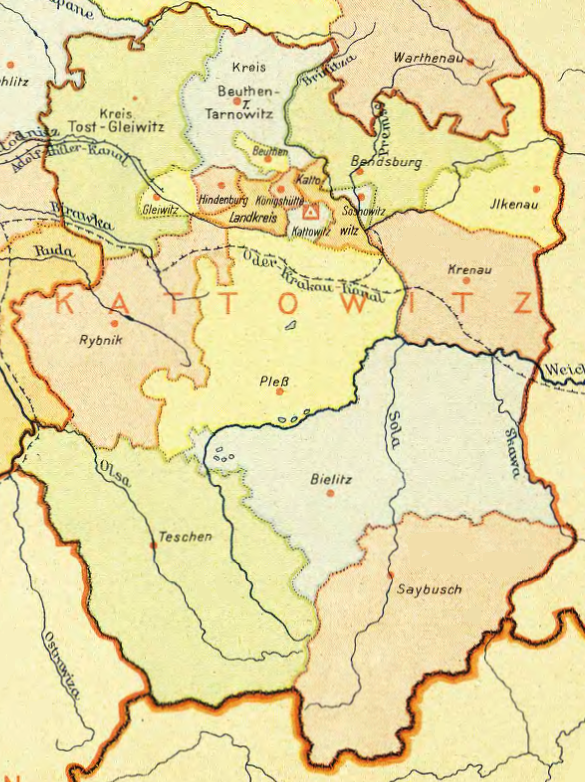
Regierungsbezirk Kattowitz
1943 · Wikimedia Commons

1932 Taipei City Plan
1932 · Wikimedia Commons

Breslau und Umgebung 157
1929 · Wikimedia Commons

Messtischblatt 5679 (ex 3309) Beuthen 1883 cropped
1883 · Wikimedia Commons