

Deutsche Korpsbereiche 1914
- Date
- 1914
- Place
- the German Empire
- Archive
- Wikimedia Commons
- Type
- map
- Original size
- 955 × 725 pixels
Public domain
Reason: public domain: Germany.
This status rests on the map's publication history, as researched by Wikimedia Commons. Check it before commercial use.
Read from: Commons licence category: PD Germany; no CC BY, CC BY-SA, GFDL or deletion tag on the file page.
Credit line
"Deutsche Korpsbereiche 1914" (1914). Wikimedia Commons. Public domain. https://commons.wikimedia.org/wiki/File:Deutsche_Korpsbereiche_1914.jpgNeed maps for a whole project? Add Find Any Map to Claude and ask for this one by its id: 21746.
More like this
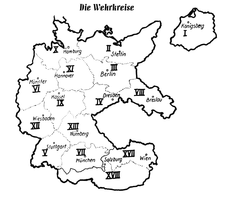
Wehrkreise Deutsches Reich
2007 · Wikimedia Commons

Map from "The Handbook on German Military Forces (TM-E 30-451)" a publication of the War departement, Military Intelligence Division, March 1945.
1945 · Wikimedia Commons

Deutschland im XIV. Jahrhundert
1886 · Wikimedia Commons

WWI map from the collections of the National Library of Wales
2 sheets

XIII. A.K. Maas 1914
1914 · Wikimedia Commons

Deutschland im XV. Jahrhundert
1886 · Wikimedia Commons
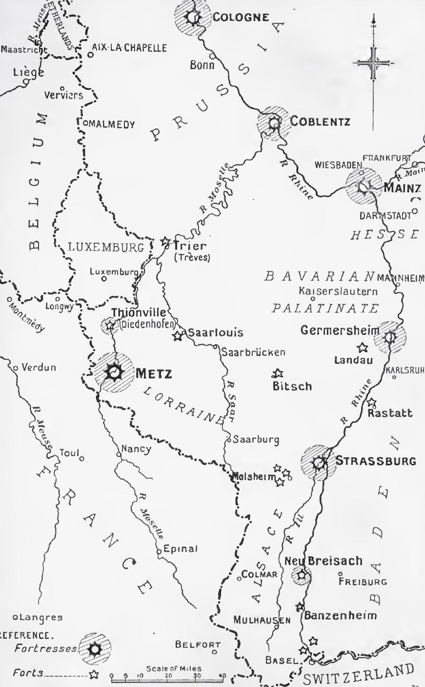
Rhine frontier fortifications, 1914
1914 · Wikimedia Commons

Greater Germany. Administrative divisions. July 1, 1944. 100 kms
1944 · Wikimedia Commons