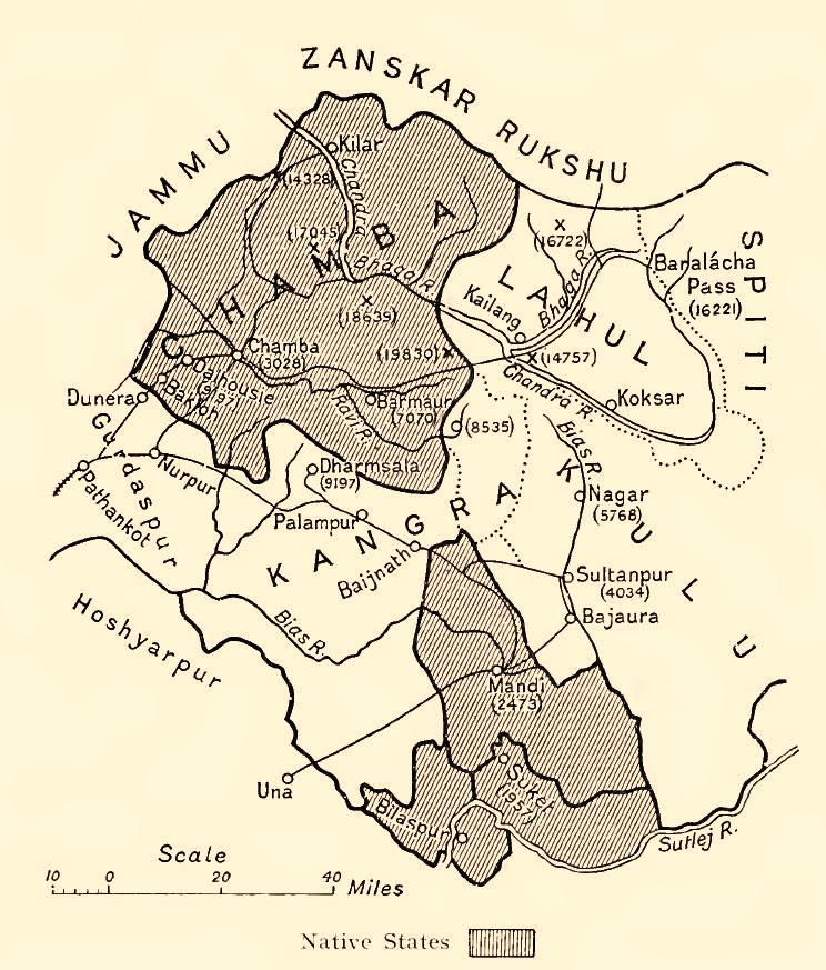

Chamba Kangra Bilaspur Mandi Kulu 1911
Map of some Indian princely states in the "Shimla Hill/Punjab Hill Agency" amongst them Chamba, Kangra, Bilaspur (= Khalur), Mandi, Kulu, 1911
- Date
- 1913
- Mapmaker / publisher
- Holland, Thomas H. (Thomas Henry), Sir
- Place
- India
- Archive
- Wikimedia Commons
- Type
- map
- Original size
- 744 × 873 pixels
Public domain
Reason: its maker died long enough ago that the copyright has expired.
This status rests on the map's publication history, as researched by Wikimedia Commons. Check it before commercial use.
Read from: Commons licence category: PD Old; no CC BY, CC BY-SA, GFDL or deletion tag on the file page.
Credit line
"Chamba Kangra Bilaspur Mandi Kulu 1911" (1913). Holland, Thomas H. (Thomas Henry), Sir, via Wikimedia Commons. Public domain. https://commons.wikimedia.org/wiki/File:Chamba_Kangra_Bilaspur_Mandi_Kulu_1911.jpegNeed maps for a whole project? Add Find Any Map to Claude and ask for this one by its id: 255752.
More like this
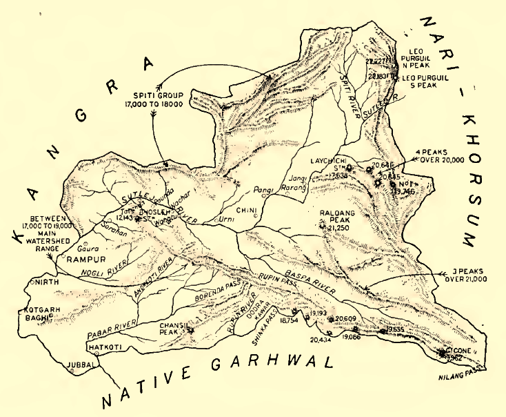
Bashar 1911
1913 · Wikimedia Commons

Map of the Punjab Hill States of Chamba, Mandi, Suket, and Bilaspur in the Punjab Province, British India, published in 'The Panjab, North-West Frontier Province and Kashmir'
1916 · Wikimedia Commons

Map of Kangra district of Punjab Province, British India, published in 'The Panjab, North-West Frontier Province and Kashmir'
1916 · Wikimedia Commons
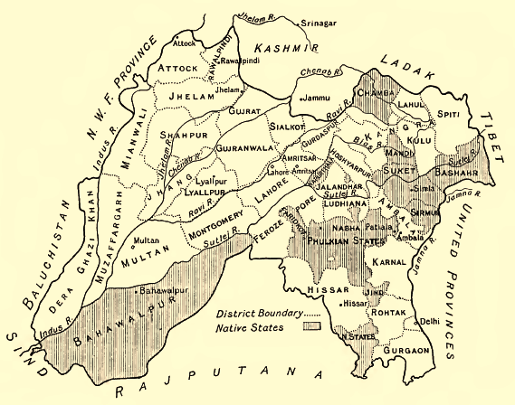
Punjab-Districts 1911
1913 · Wikimedia Commons

Map of the tea localities in Kangra District (F11-27)
1901 · Wikimedia Commons

Map of Bushahr State in the Punjab Province, British India, published in 'The Panjab, North-West Frontier Province and Kashmir'
1916 · Wikimedia Commons

Sketch map of the relative positions of the government districts and protected Hill States under the Sabathu Agency, 1841 (F09-21)
1841 · Wikimedia Commons

Ludhiana District 1911
1911 · Wikimedia Commons