

C. 1700-1792 India
Map of the Indian Peninsula (India) showing changes from 1700-1792 CE
- Date
- c. 1911
- Place
- India in the 18th century
- Archive
- Wikimedia Commons
- Type
- atlas page
- Original size
- 896 × 1,312 pixels
Public domainsafest
Reason: its maker died more than 90 years ago.
Read from: Commons licence category: PD-old-90-expired; no CC BY, CC BY-SA, GFDL or deletion tag on the file page.
Credit line
"C. 1700-1792 India" (c. 1911). Wikimedia Commons. Public domain. https://commons.wikimedia.org/wiki/File:C._1700-1792_India.jpgNeed maps for a whole project? Add Find Any Map to Claude and ask for this one by its id: 20637.
More like this

An overview map of the 1700's (up to 1792) from *Shepherd's "Historical Atlas
1923 · Wikimedia Commons

British dominion of India
1912 · Wikimedia Commons

Carnatic wars Map Larger
1907 · Wikimedia Commons

Peninsular India 1792 Faden
1800 · Wikimedia Commons
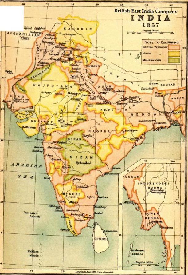
Map BEIC 1857
1857 · Wikimedia Commons

A Map of the Peninsula of India.
1793 · Wikimedia Commons

From a Dutch version of Isaak Tirion's 'Hand Atlas', Amsterdam, 1769 (with modern hand coloring)
1769 · Wikimedia Commons

Map of India under the British East India Company, comparing 1765 and 1805
1907 · Wikimedia Commons