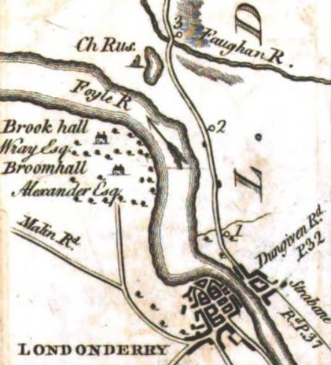

Boom hall map 1777
Boom Hall from Taylor and Skinner’s road map of Londonderry, 1777
- Date
- 1777
- Mapmaker / publisher
- Taylor and Skinner’s road map of Londonderry, 1777
- Place
- Northern Ireland
- Archive
- Wikimedia Commons
- Type
- map
- Original size
- 653 × 719 pixels
Public domainsafest
Reason: its maker died more than 70 years ago.
Read from: Commons licence category: PD-old-70-expired; no CC BY, CC BY-SA, GFDL or deletion tag on the file page.
Credit line
"Boom hall map 1777" (1777). Taylor and Skinner’s road map of Londonderry, 1777, via Wikimedia Commons. Public domain. https://commons.wikimedia.org/wiki/File:Boom_hall_map_1777.pngNeed maps for a whole project? Add Find Any Map to Claude and ask for this one by its id: 245645.
More like this

Detail from plate 105 of Taylor and Skinner's Maps Of The Roads Of Ireland
1777 · Wikimedia Commons

CANE(1859) p054 MAP OF LONDONDERRY
1859 · Wikimedia Commons

Siege of derry boom
1694 · Wikimedia Commons

Map of the Town and Environs of Belfast
1791 · Wikimedia Commons
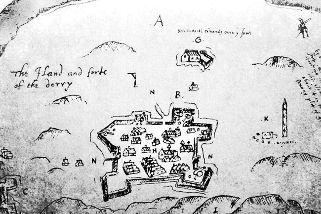
Derry, Ireland 1607
1607 · Wikimedia Commons

Extract from a Survey of the City, Harbour, Bay and Environs of Dublin on the same Scale as those of London, Paris & Rome by John Rocque
1757 · Wikimedia Commons

1797 map of Dublin, Ireland
January 4, 1797 · Wikimedia Commons

Lawrence H. Slaughter Collection; 341.; National Endowment for the Humanities Grant for Access to Early Maps of the Middle Atlantic Seaboard.
1701 · Ireland