

Bombardement op Amsterdam-Noord
overzicht bommen
- Date
- July 17, 1943
- Mapmaker / publisher
- Historisch Centrum Amsterdam-Noord (hcan.nl)
- Place
- Amsterdam-Noord
- Archive
- Wikimedia Commons
- Type
- map
- Original size
- 1,200 × 675 pixels
Public domain
Reason: public domain: anon-70-EU.
This status rests on the map's publication history, as researched by Wikimedia Commons. Check it before commercial use.
Read from: Commons licence category: PD-anon-70-EU; no CC BY, CC BY-SA, GFDL or deletion tag on the file page.
Credit line
"Bombardement op Amsterdam-Noord" (July 17, 1943). Historisch Centrum Amsterdam-Noord (hcan.nl), via Wikimedia Commons. Public domain. https://commons.wikimedia.org/wiki/File:Bombardement_op_Amsterdam-Noord.jpegNeed maps for a whole project? Add Find Any Map to Claude and ask for this one by its id: 24544.
More like this

Map of the locations of bombing in Nottingham during the Second World War
1945 · Wikimedia Commons

Plattegrond van Amsterdam, 1400 Amsteldam soo het selve is omhaynt geweest met houte Vesten en Toorens inden Iaere 1400 Amstelodamum sicut maenibus ligneis, ac turribus cinctum fuit Ao. 1400 Amstelodamum Anno 1342 (tite, RP-P-AO-20-7A
1671–1680 · Wikimedia Commons
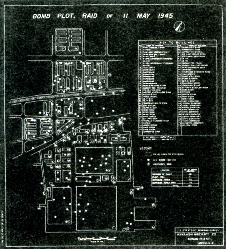
Bombs on Konan factory
c. 1945 · Wikimedia Commons

Fu-Go balloon bomb incident locations, Canada
1973 · Wikimedia Commons

Amsteldam soo het selve is omhaynt geweest in den Iaare 1342 (titel op object)
1678–1680 · Plattegrond van Amsterdam

Plattegrond van Amsterdam met stadsgezicht Amstelodamum Emporium (titel op object), RP-P-AO-20-12
1611–1614 · Wikimedia Commons

Northern Territory airfields 1943
1943 · Wikimedia Commons

Plattegrond van Amsterdam, 1400 Amsteldam soo het selve is omhaynt geweest met houte Vesten en Toorens inden Iaere 1400 / Amsteldam inden jaere 1342 (titel op object)
1662–1720 · Vier historische kaarten van Amsterdam Schut Vissche