

Northern Territory airfields 1943
- Date
- 1943
- Place
- the history of Australia
- Archive
- Wikimedia Commons
- Type
- map
- Original size
- 1,920 × 1,452 pixels
Public domainsafest
Reason: a US government work (US Army).
Read from: Commons licence category: PD US Army; no CC BY, CC BY-SA, GFDL or deletion tag on the file page.
Credit line
"Northern Territory airfields 1943" (1943). Wikimedia Commons. Public domain. https://commons.wikimedia.org/wiki/File:Northern_Territory_airfields_1943.jpgNeed maps for a whole project? Add Find Any Map to Claude and ask for this one by its id: 24122.
More like this

Map of USAAF Airfields in Australia during World WarII
December 21, 2008 · Wikimedia Commons

Okinawa airfields 1945
1945 · Wikimedia Commons
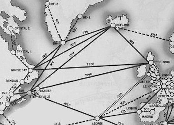
North Atlantic Transport Route 1945
1945 · Wikimedia Commons

Operation Thursday
1943 · Wikimedia Commons

AFHQ Structure, 1943
1957 · Wikimedia Commons

Map of the Japanese airfield at Munda Point, New Georgia, 1943
1943 · Wikimedia Commons

Australian Operation Cartwheel battles
1938 · Wikimedia Commons

Pacific War - Dutch East Indies 1941-42 - Map
1941 · Wikimedia Commons