

Bezirk Bielitz Sprachinsel 1910
Cropped version of the:File:Map of the population Manufacturing Distrct Eastern Moravia and Silesia.jpg to schow the Bielitz-Biala Language island.
- Date
- c. 1920
- Mapmaker / publisher
- Ing. Viktor Obratschay († b. 1945), Printing company of Karl Prochaska, Teschen
- Place
- Teschen Silesia
- Archive
- Wikimedia Commons
- Type
- map
- Original size
- 2,500 × 3,146 pixels
Public domainsafest
Reason: its maker died more than 70 years ago.
Read from: Commons licence category: PD-old-70-expired; no CC BY, CC BY-SA, GFDL or deletion tag on the file page.
Credit line
"Bezirk Bielitz Sprachinsel 1910" (c. 1920). Ing. Viktor Obratschay († b. 1945), Printing company of Karl Prochaska, Teschen, via Wikimedia Commons. Public domain. https://commons.wikimedia.org/wiki/File:Bezirk_Bielitz_Sprachinsel_1910.jpgNeed maps for a whole project? Add Find Any Map to Claude and ask for this one by its id: 254682.
More like this

Map of the population Manufacturing Distrct Eastern Moravia and Silesia
1910–1920 · Wikimedia Commons

Ethnographische Karte der Oesterreichischen Monarchie von Carl Freiherr von Czoernig 1855 Blatt B-Ost Schlesien
1855 · Wikimedia Commons

Duchy of Silesia 1912
1912 · Wikimedia Commons
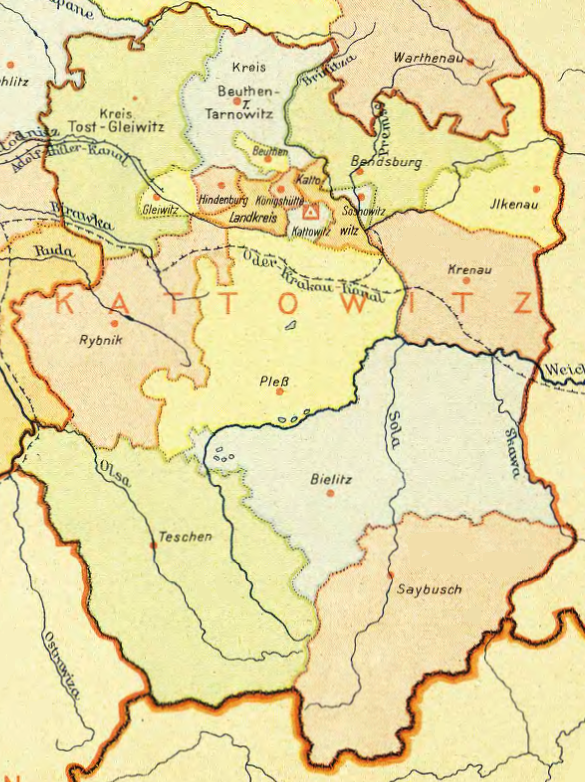
Regierungsbezirk Kattowitz
1943 · Wikimedia Commons

Księstwo Cieszyńskie (Herzogtum Teschen) - mapa niem.
1893 · Mapa niem. 1893

Andrees Handatlas 1912 - Oberschlesisches Berg- und Hütten-Revier
1912 · Wikimedia Commons

Languages in Central Europe 1910
1910 · Wikimedia Commons

Schlesien 1905
1905 · Wikimedia Commons