

Beaver County, Pennsylvania
Relief shown by contours and spot heights. Alternate title in lower margin at right: Beaver Co., Pa.: 40080-F3-CF-050: 1991. In upper margin: United States, Department of the Interior, Geological Survey; Commonwealth of Pennsylvania, Department of Environmental Resources, Topographic and Geologic Survey. UTM and Pa. coordinate grids. Includes notes, "Index to 1:24,000-scale maps," and location map.
- Date
- 1991
- Mapmaker / publisher
- Geological Survey (U.S.); Pennsylvania. Bureau Of Topographic And Geologic Survey
- Place
- Pennsylvania
- Archive
- Library of Congress (via Wikimedia Commons)
- Type
- map
- Original size
- 8,819 × 11,605 pixels
Public domain
Reason: public domain: USGS.
This status rests on the map's publication history, as researched by Wikimedia Commons. Check it before commercial use.
Read from: Commons licence category: PD USGS; no CC BY, CC BY-SA, GFDL or deletion tag on the file page.
Credit line
"Beaver County, Pennsylvania" (1991). Geological Survey (U.S.); Pennsylvania. Bureau Of Topographic And Geologic Survey. Library of Congress, Geography and Map Division, via Wikimedia Commons. Public domain. https://commons.wikimedia.org/wiki/File:Beaver_County,_Pennsylvania_LOC_92685102.jpgNeed maps for a whole project? Add Find Any Map to Claude and ask for this one by its id: 8874.
More like this

Beaver County, Pennsylvania
1977 · Library of Congress

Delaware County, Pennsylvania
1991 · Library of Congress

Lawrence County, Pennsylvania
1986 · Library of Congress
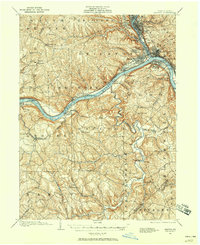
Beaver, Pennsylvania: USGS topographic map, 1:62,500 (1901–1904)
1901–1904 · 7 editions

Montour County, Pennsylvania.
1974 · Library of Congress
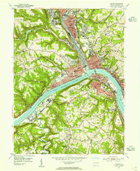
Beaver, Pennsylvania: USGS topographic map, 1:24,000 (1953)
1953 · 4 editions

Basin and area planning, Pennsylvania
1991 · Library of Congress

Wyoming County, Pennsylvania
1987 · Library of Congress