

Battle of Hendersons Hill Map
Map shows where the Battle of Henderson's Hill was fought in relation to Alexandria, Louisiana. It is taken from a map prepared by the USA War Dept. in January 1865.
- Date
- 1865
- Mapmaker / publisher
- Colonel John S. Clark, Engineer Bureau, War Department. January 1865
- Place
- the American Civil War
- Archive
- Wikimedia Commons
- Type
- map
- Original size
- 763 × 678 pixels
Public domainsafest
Reason: a US government work.
Read from: Commons licence category: PD US Government; no CC BY, CC BY-SA, GFDL or deletion tag on the file page.
Credit line
"Battle of Hendersons Hill Map" (1865). Colonel John S. Clark, Engineer Bureau, War Department. January 1865, via Wikimedia Commons. Public domain. https://commons.wikimedia.org/wiki/File:Battle_of_Hendersons_Hill_Map.jpgNeed maps for a whole project? Add Find Any Map to Claude and ask for this one by its id: 733.
More like this

Affair of Hendersons Hill Map
1891 · Wikimedia Commons

Red River battles
1895 · Library of Congress

Map of Red River and the Country South and east of Alexandria. Surveyed under the direction of Capt. E. Gottheil, Chief Engineer, Dist. Wesn. La., Head Quarters, Engineer Department, Dist. Western Louisiana.
1861–1865 · U.S. National Archives

(Map of the Red River campaign, March 10-May 22. 1864).
1864 · Library of Congress

Map of Louisiana & Arkansas.
1864 · Library of Congress

Battlefield of Pleasant Hill. Surveyed and Drawn by Lt. S. E. McGregory By Order of Maj. D. C. Houston, Chief Engineers, D.O.G. Department of the Gulf.
1861–1865 · U.S. National Archives

Red River campaign map
1895 · Library of Congress
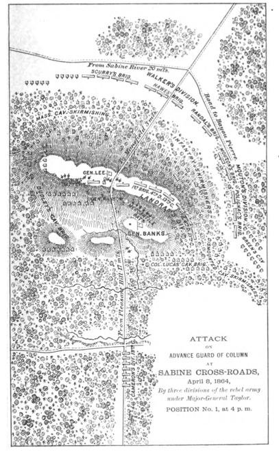
MansfieldMapFromBanksOfficaReport
1891 · Wikimedia Commons