

Battle of Arras - First Army communications map
First Army diagram of communications for Vimy Ridge operations. Also shows location of headquarters for various corps, divisions, brigades, etc Plate "No. 17". "Sheet 36C"--Upper right corner. "Sheet 36B"-Upper left corner. Item is taken from vol. 4774, B/W image, original scanned. Original map 24 x 21 cm.
- Date
- 1917
- Mapmaker / publisher
- Canada. Dept. of National Defence, 1st Field Survey Company, Royal Engineers
- Archive
- Wikimedia Commons
- Type
- map
- Original size
- 1,981 × 2,286 pixels
Public domain
Reason: public domain: Canada.
This status rests on the map's publication history, as researched by Wikimedia Commons. Check it before commercial use.
Read from: Commons licence category: PD Canada; no CC BY, CC BY-SA, GFDL or deletion tag on the file page.
Credit line
"Battle of Arras - First Army communications map" (1917). Canada. Dept. of National Defence, 1st Field Survey Company, Royal Engineers, via Wikimedia Commons. Public domain. https://commons.wikimedia.org/wiki/File:Battle_of_Arras_-_First_Army_communications_map.jpgNeed maps for a whole project? Add Find Any Map to Claude and ask for this one by its id: 22360.
More like this

Vimy Ridge 1917-barrage map
1917 · Wikimedia Commons

Vimy-Sheet36c SW3 Edition 8a 10-02-17
February 10, 1917 · Wikimedia Commons

III Corps situation map - 7pm 21 April 1917
1917 · Wikimedia Commons
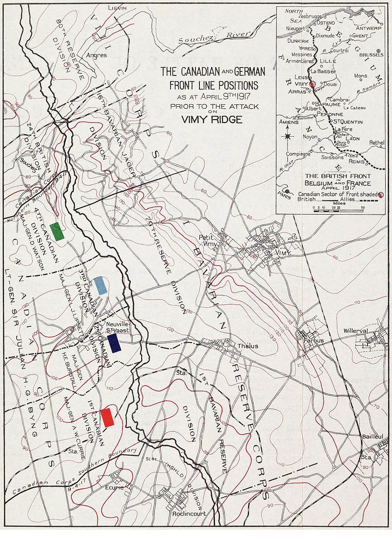
Defender and Attackers - Vimy Ridge
1917 · Wikimedia Commons

Vimy Ridge map-April 9-April 12
Wikimedia Commons
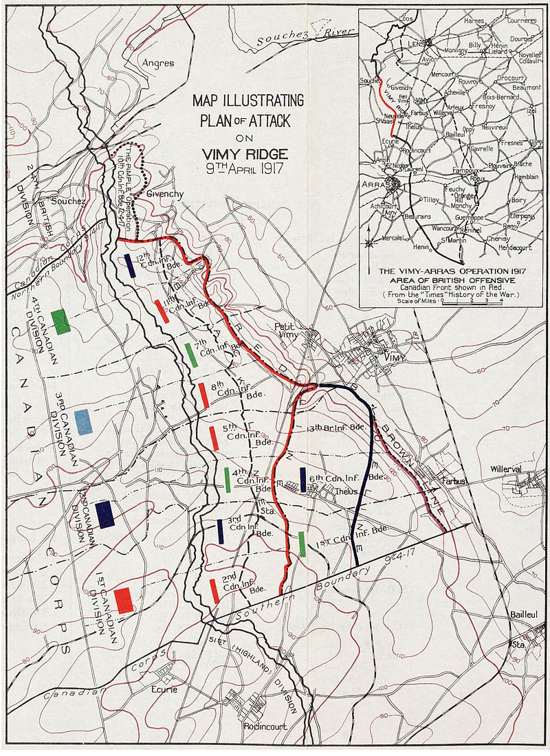
Plan of Attack Vimy Ridge
1917 · Wikimedia Commons

Vimy Front, April 1917
1917 · Wikimedia Commons

Map #1 to accompany 1st ANZAC Corps Order #117
1917 · Wikimedia Commons