

Vimy Ridge 1917-barrage map
High Resolution Barrage Map Showing Boundaries and Objectives for Assault on Vimy Ridge, Scale 1:10,000
- Date
- 1917
- Mapmaker / publisher
- Base map supplied by Ordnance Survey, and modified by 1st Field Survey Company, Royal Engineers (as denoted in bottom left quadrant of map)
- Archive
- Wikimedia Commons
- Type
- map
- Original size
- 1,963 × 2,662 pixels
Public domainsafest
Reason: its US copyright has expired (published before 1931).
Read from: Commons licence category: PD US expired; no CC BY, CC BY-SA, GFDL or deletion tag on the file page.
Credit line
"Vimy Ridge 1917-barrage map" (1917). Base map supplied by Ordnance Survey, and modified by 1st Field Survey Company, Royal Engineers (as denoted in bottom left quadrant of map), via Wikimedia Commons. Public domain. https://commons.wikimedia.org/wiki/File:Vimy_Ridge_1917-barrage_map.jpgNeed maps for a whole project? Add Find Any Map to Claude and ask for this one by its id: 22723.
More like this

Vimy-Sheet36c SW3 Edition 8a 10-02-17
February 10, 1917 · Wikimedia Commons
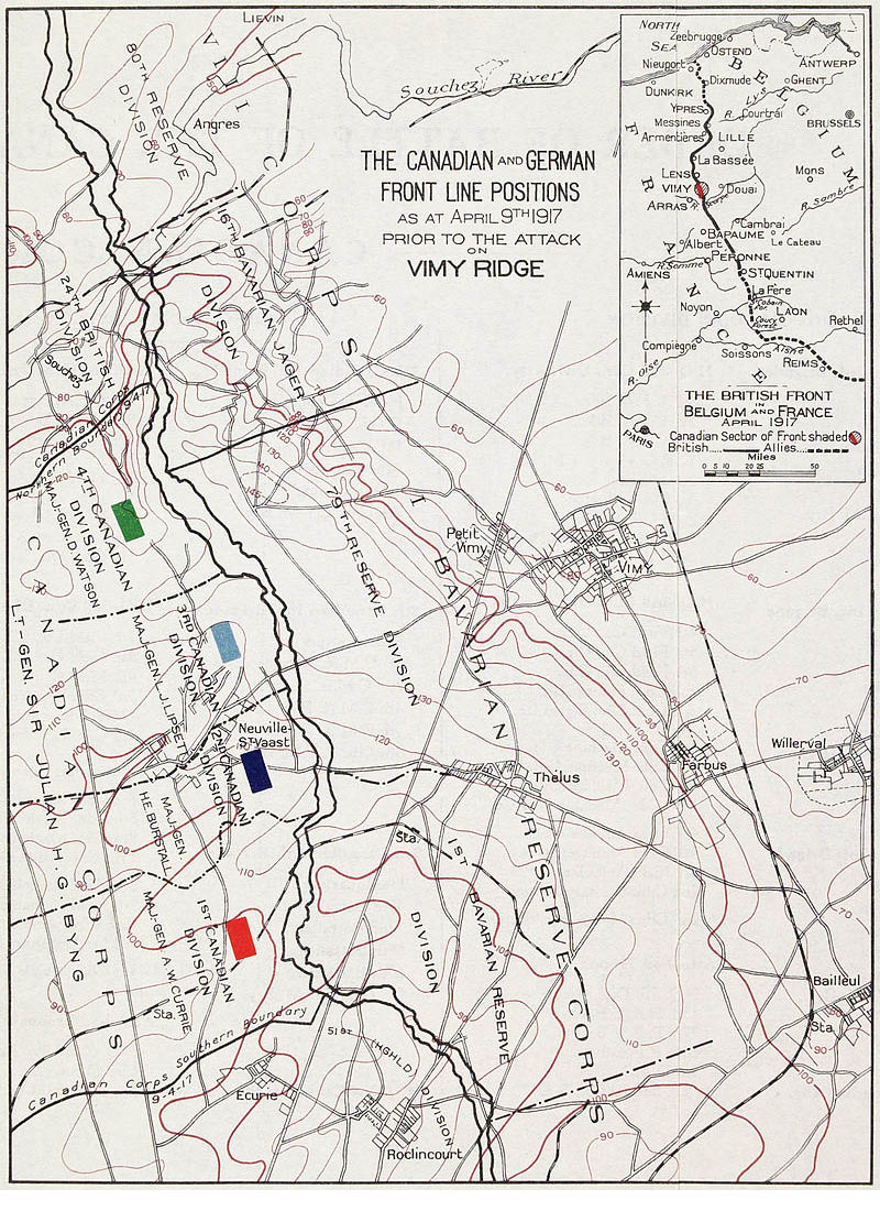
Defender and Attackers - Vimy Ridge
1917 · Wikimedia Commons

Vimy Ridge map-April 9-April 12
Wikimedia Commons

Battle of the Canal du Nord - battle map (Sept 1918)
August 29, 1918 · Wikimedia Commons
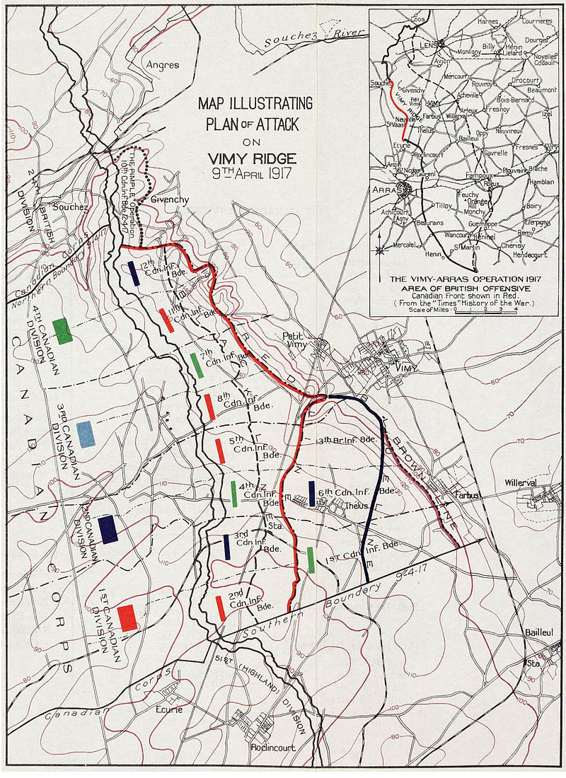
Plan of Attack Vimy Ridge
1917 · Wikimedia Commons

Battle of Messines - 1-10000 planning map
1917 · Wikimedia Commons

Vimy Front, April 1917
1917 · Wikimedia Commons

First Battle of Passchendaele - barrage map (colour balance)
1917 · Wikimedia Commons