

Asylum Avenue in 1865 - Washington DC
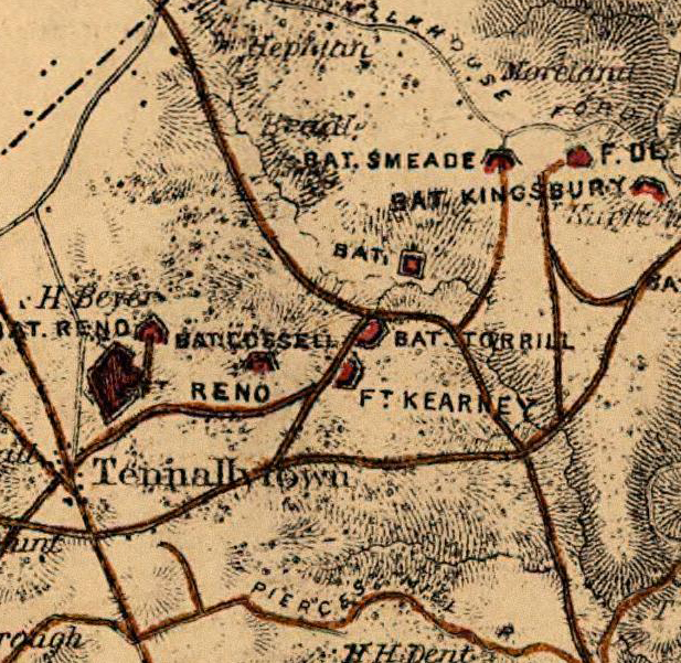
Cropped map of the lower portion of southeast Washington, D.C., in the United States in 1865. The map depicts the location of two American Civil War forts, Fort Carroll and Fort Greble, atop a line of bluffs. Major improved roads used for defense of the city are marked in red. The road just east of the line of bluffs is Asylum Avenue.
- Date
- 1865
- Mapmaker / publisher
- Engineer Bureau, U.S. Department of War
- Place
- the Civil War Defenses of Washington, D.C.
- Archive
- Library of Congress (via Wikimedia Commons)
- Type
- map
- Original size
- 900 × 1,397 pixels
Public domainsafest
Reason: a US government work (US Army).
Read from: Commons licence category: PD US Army; no CC BY, CC BY-SA, GFDL or deletion tag on the file page.
Credit line
"Asylum Avenue in 1865 - Washington DC" (1865). Engineer Bureau, U.S. Department of War. Library of Congress, Geography and Map Division, via Wikimedia Commons. Public domain. https://commons.wikimedia.org/wiki/File:Asylum_Avenue_in_1865_-_Washington_DC.jpgNeed maps for a whole project? Add Find Any Map to Claude and ask for this one by its id: 282.
More like this

N E Virginia forts and roads, detail of Washington2
1865 · Library of Congress

1865 Washington
1865 · Library of Congress
Ft. Kearny Crop
1865 · Wikimedia Commons

Fort Runyon crop
1865 · Wikimedia Commons

Fort Jackson crop
1865 · Wikimedia Commons

Map of the defences of Washington.
1865 · Library of Congress

Fort Foote crop
1865 · Wikimedia Commons

Fort Craig VA Map
1865 · 2 sheets