

Approximative zones according to the secret Treaty of London (April 26th 1915) - (Albania)
Relief shown by shading and spot heights. Shows territories proposed to be allotted to Serbia, Montenegro, Albania, Italy, and Greece. On base map: Scala di 1:400 000 (1 cm. = 4 km.). Black ink, col. inks, and col. washes on photocopy base map. Rubber-stamped and mounted on cloth backing. Vault
- Date
- 1915
- Mapmaker / publisher
- Radovitch, A. (André); Radovitch, A
- Place
- Albania
- Archive
- Library of Congress (via Wikimedia Commons)
- Type
- map
- Original size
- 4,633 × 5,885 pixels
Public domainsafest
Reason: its maker died more than 100 years ago.
Read from: Commons licence category: PD-old-100-expired; no CC BY, CC BY-SA, GFDL or deletion tag on the file page.
Credit line
"Approximative zones according to the secret Treaty of London (April 26th 1915) - (Albania)" (1915). Radovitch, A. (André); Radovitch, A. Library of Congress, Geography and Map Division, via Wikimedia Commons. Public domain. https://commons.wikimedia.org/wiki/File:Approximative_zones_according_to_the_secret_Treaty_of_London_(April_26th_1915)_-_(Albania)_LOC_88694279.jpgNeed maps for a whole project? Add Find Any Map to Claude and ask for this one by its id: 7948.
More like this

Albanian frontiers.
1918 · Library of Congress

Proposed boundary between Greece and Albania and population composition of south central Yugoslavia and northern Albania.
1915 · 3 sheets

Hand-drawn map of Albania during World War I
c. 1917 · Wikimedia Commons

Albania, administrative divisions, 1959. 6-60.
1959 · Library of Congress

Albania. 8-62.
1962 · Library of Congress

Maps of the Balkan Peninsula.
1919 · 10 sheets

Map of Albania - Hobhouse John Cam Lord Broughton - 1813
1813 · Wikimedia Commons
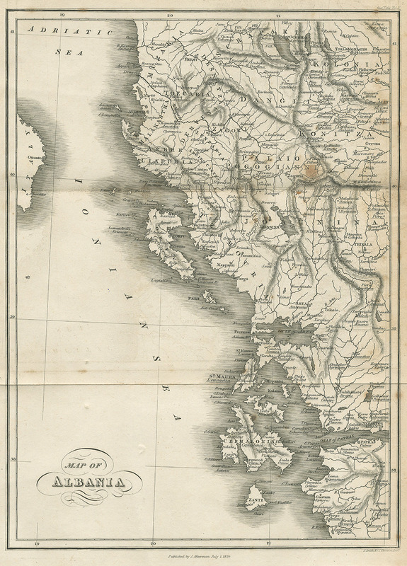
Map of Albania - Hughes Thomas Smart - 1820
1820 · Wikimedia Commons