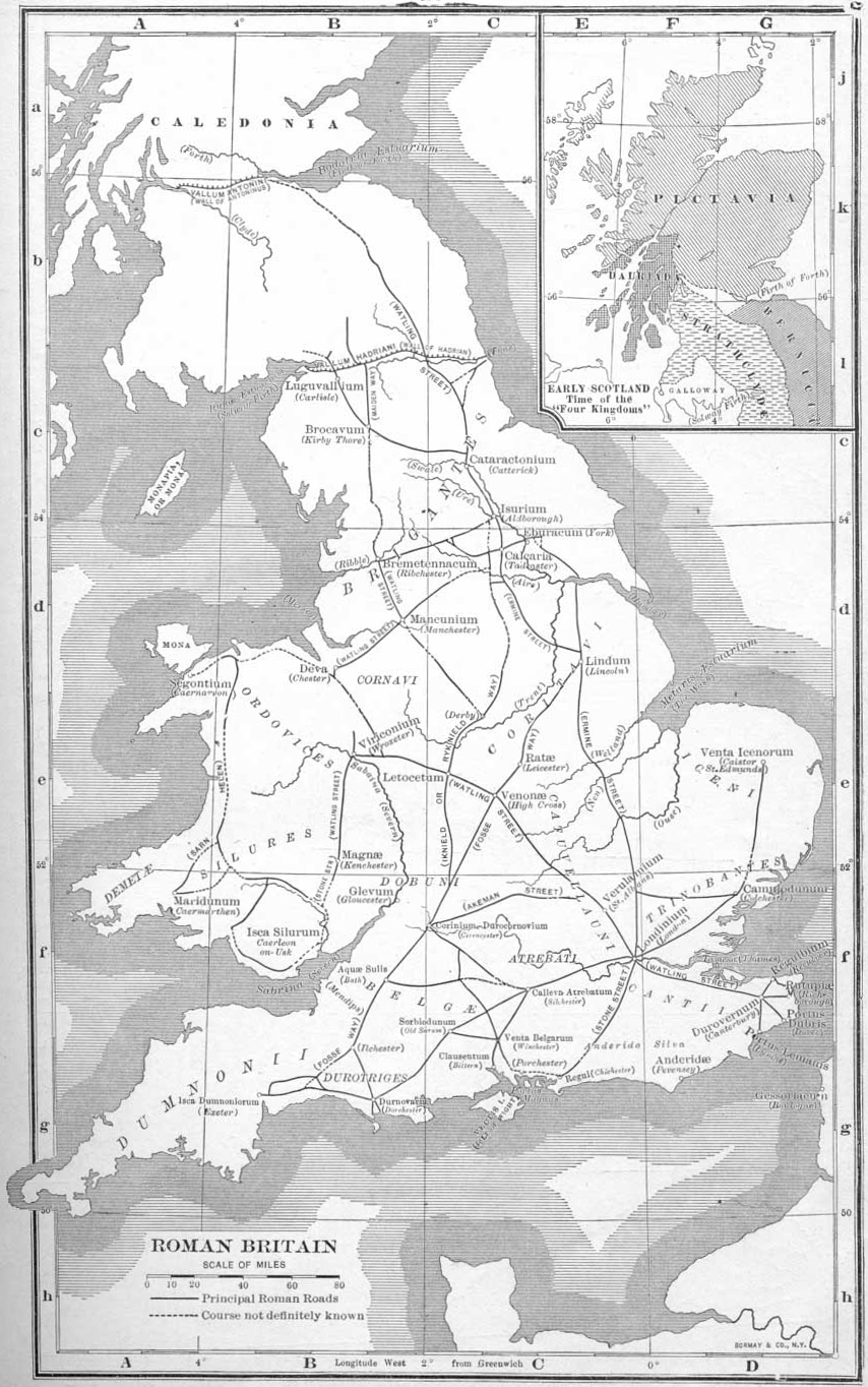

An outdated map of the Roman road network in Britain
- Date
- 1910
- Mapmaker / publisher
- Earle W. Dowe; uploaded to English Wikipedia 22:04, 1 April 2005 by Adamsan
- Place
- England in the 3rd century
- Archive
- Wikimedia Commons
- Type
- map
- Original size
- 854 × 1,364 pixels
Public domainsafest
Reason: its maker died more than 70 years ago.
Read from: Commons licence category: PD-old-70-expired; no CC BY, CC BY-SA, GFDL or deletion tag on the file page.
Credit line
"An outdated map of the Roman road network in Britain" (1910). Earle W. Dowe; uploaded to English Wikipedia 22:04, 1 April 2005 by Adamsan, via Wikimedia Commons. Public domain. https://commons.wikimedia.org/wiki/File:Romanbritain.jpgNeed maps for a whole project? Add Find Any Map to Claude and ask for this one by its id: 20076.
More like this
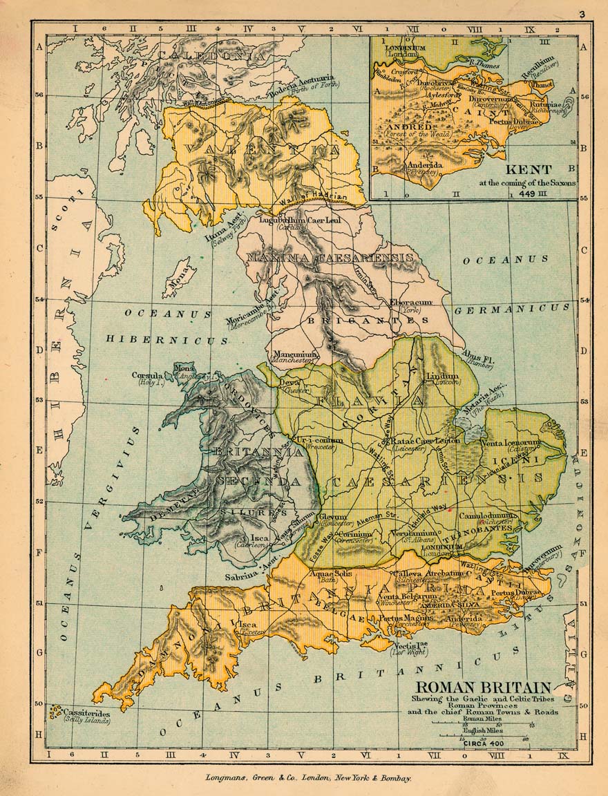
Roman britain 400
1905 · Wikimedia Commons

Roman Britain
1902 · Wikimedia Commons

Map of Roman Britain (Johnston)
1888–1897 · Wikimedia Commons

C. 410 Britannia
c. 1911 · Wikimedia Commons

A somewhat inaccurate account of the Boudica Revolt ( AD 60 or 61) against the Romans in Britain, set over an inaccurate map of Roman roads a century out of date.
2006 · Wikimedia Commons

Britain roman
Wikimedia Commons

Roman Britain (Droysen)
1886 · Wikimedia Commons

Saxonengland
Wikimedia Commons