

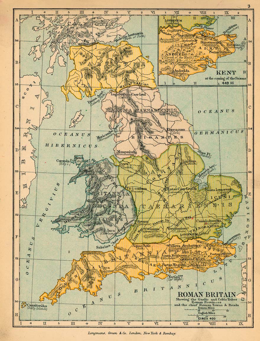
Roman Britain
"Roman Britain", a map from Plate 15 of R. Lane Poole's Historical Atlas of Modern Europe
- Date
- 1902
- Mapmaker / publisher
- Reginald Lane Poole
- Place
- Roman Britain
- Archive
- Wikimedia Commons
- Type
- atlas page
- Original size
- 2,486 × 3,007 pixels
Public domainsafest
Reason: its maker died more than 70 years ago.
Read from: Commons licence category: PD-old-70-expired; no CC BY, CC BY-SA, GFDL or deletion tag on the file page.
Credit line
"Roman Britain" (1902). Reginald Lane Poole, via Wikimedia Commons. Public domain. https://commons.wikimedia.org/wiki/File:Roman_Britain.pngNeed maps for a whole project? Add Find Any Map to Claude and ask for this one by its id: 20065.
More like this

Roman Britain (Droysen)
1886 · Wikimedia Commons
Roman britain 400
1905 · Wikimedia Commons

Historical atlas of modern Europe: from the decline of the Roman Empire: comprising also maps of parts of Asia, Africa, and the New World connected with Europaean history
Wikimedia Commons

Britain roman
Wikimedia Commons

The Roman Empire from Diocletian to the death of Theodosius (285-395 A.D.)
1902 · Wikimedia Commons

C. 410 Britannia
c. 1911 · Wikimedia Commons

BRITANNIA PROVINCIA ROMANORUM
2 sheets

C. 802 British Isles
c. 1911 · Wikimedia Commons