

1946 numbering
This is a map copyrighted by the State Road Department of Florida in 1946, showing the new numbering system. It comes from a larger map on Historical Maps of Florida at I searched Copyright renewal records at and the SRD did not renew any copyrights. Therefore this map is now in the public domain. Note: there is at least one typo; 20 between Gainesville and Ocala should read 25.
- Date
- 1946
- Mapmaker / publisher
- State Road Department of Florida
- Place
- North America
- Archive
- Wikimedia Commons
- Type
- map
- Original size
- 1,749 × 1,740 pixels
Public domainsafest
Reason: its US copyright was not renewed (published 1931–1963).
Read from: Commons licence category: PD US not renewed; no CC BY, CC BY-SA, GFDL or deletion tag on the file page; permission field: I searched Copyright renewal records at and the SRD did not renew any copyrights. Therefore this map is now in the publi.
Credit line
"1946 numbering" (1946). State Road Department of Florida, via Wikimedia Commons. Public domain. https://commons.wikimedia.org/wiki/File:1946_numbering.jpgNeed maps for a whole project? Add Find Any Map to Claude and ask for this one by its id: 294316.
More like this

United States system of highways, adopted for uniform marking by the American Association of State Highway officials, November 11, 1926, with additions and amendments subsequently approved 1950
1950 · Library of Congress

Transportation map of Florida.
1975 · Library of Congress

Transportation map of Florida.
1975 · Library of Congress

State of Florida; base map
1940 · Library of Congress

Map of the State of Florida showing the progress of the surveys; from the annual report of the Surveyor General for 1856.
1856 · Library of Congress
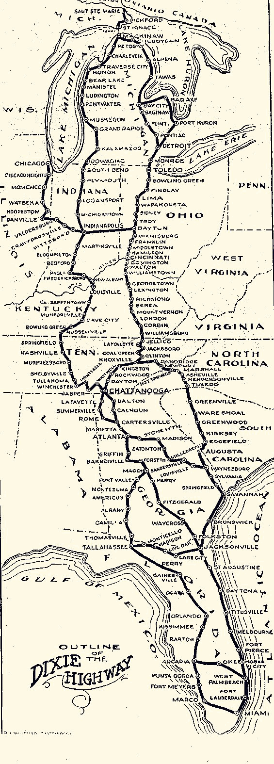
Dixie Highway Map
Wikimedia Commons

State of Florida; base map.
1968 · Library of Congress

"Sources: Base map from U.S. Geological Survey, Florida, 1967. County and place boundaries certified by local officials, January 1, 1980." Includes indexes and 6 insets.
1980 · Library of Congress