

1946 Map of British India with areas demanded for separate Pakistan by Muslim League
The complexity of the task - dividing South Asia and creating states from British India; a news map from May 12 1946 Map shows British Holdings in India, native states and areas demanded by Muslims for independent Pakistan state. This map was the basis for negotiations between 3-person British cabinet delegation, All-India Congress and the Muslim League. The Muslims in 1946, demanded Calcutta to be part of East Pakistan (now Bangladesh), as well as post-partition West Bengal, Assam, Arunachal Pradesh, Nagaland, Tripura, Mizoram, along with parts of what later became Meghalaya, Manipur, Haryana, Punjab (India) and Himachal Pradesh in Pakistan. The May 1946 discussions collapsed. Source: Columbia University, July 2010
- Date
- 1946
- Place
- India
- Archive
- Wikimedia Commons
- Type
- map
- Original size
- 871 × 986 pixels
Public domain
Reason: public domain: India.
This status rests on the map's publication history, as researched by Wikimedia Commons. Check it before commercial use.
Read from: Commons licence category: PD India; no CC BY, CC BY-SA, GFDL or deletion tag on the file page.
Credit line
"1946 Map of British India with areas demanded for separate Pakistan by Muslim League" (1946). Wikimedia Commons. Public domain. https://commons.wikimedia.org/wiki/File:1946_Map_of_British_India_with_areas_demanded_for_separate_Pakistan_by_Muslim_League.jpgNeed maps for a whole project? Add Find Any Map to Claude and ask for this one by its id: 242411.
More like this

How India be split up
September 22, 2022 · Wikimedia Commons

1946 Political Subdivisions of India by National Geographic
1946 · Wikimedia Commons

Map of the partition plan for Punjab, showing notional boundary, Survey of Pakistan office, Rawalpindi, 3 June 1947
June 3, 1947 · Wikimedia Commons

North-Western India in 1946 map of India by National Geographic
1946 · Wikimedia Commons

1947 India showing Provinces, States and Districts by Survey of India
1947 · Wikimedia Commons

1946 Map of Baluchistan by National Geographic
1946 · Wikimedia Commons
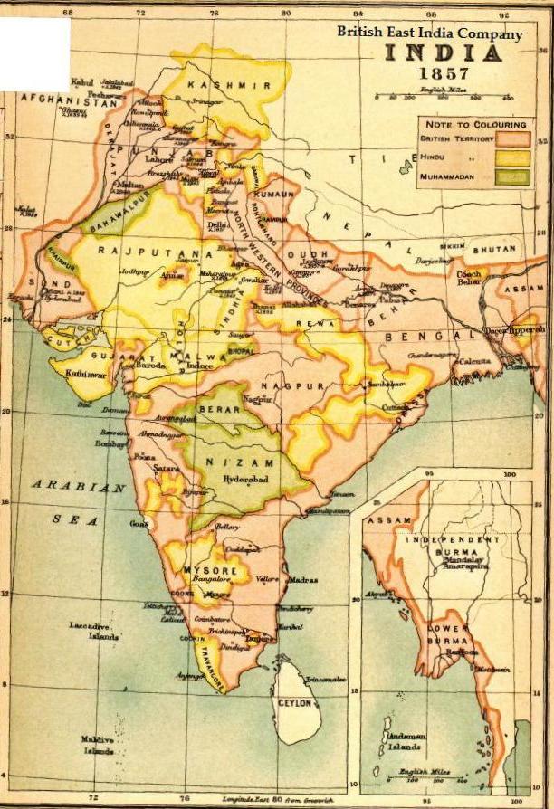
Map BEIC 1857
1857 · Wikimedia Commons

This early-20th century map shows the British Empire in India, a complex political structure that was made up of provinces directly ruled by Britain and the Native--or Princely--States, which were rul
1903 · Wikimedia Commons