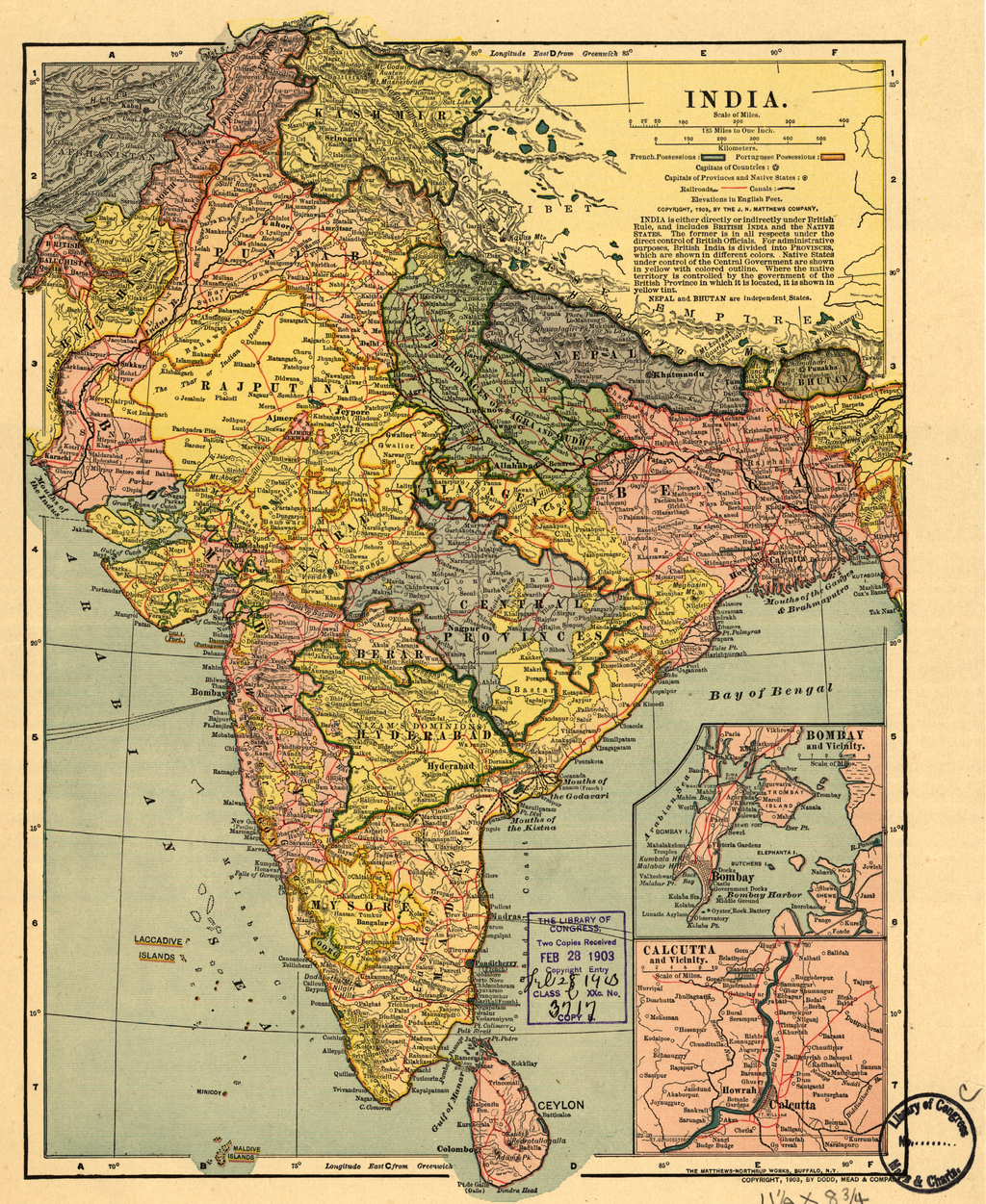

This early-20th century map shows the British Empire in India, a complex political structure that was made up of provinces directly ruled by Britain and the Native--or Princely--States, which were rul
- Date
- 1903
- Mapmaker / publisher
- Dodd, Mead and Company
- Place
- India
- Archive
- Wikimedia Commons
- Type
- map
- Original size
- 1,024 × 1,251 pixels
Public domainsafest
Reason: its maker died more than 100 years ago, and a faithful scan of a flat work adds no new copyright.
Read from: Commons licence category: PD-Art (PD-old-100); no CC BY, CC BY-SA, GFDL or deletion tag on the file page.
Credit line
"This early-20th century map shows the British Empire in India, a complex political structure that was made up of provinces directly ruled by Britain and the Native--or Princely--States, which were rul" (1903). Dodd, Mead and Company, via Wikimedia Commons. Public domain. https://commons.wikimedia.org/wiki/File:India_WDL388.pngNeed maps for a whole project? Add Find Any Map to Claude and ask for this one by its id: 255703.
More like this

India.
1903 · Library of Congress

Indian Empire in 1912
1912 · Wikimedia Commons

Map of British Raj
1894 · Wikimedia Commons

British Indian Empire Imperial Gazetteer of India 1908 High Resolution
December 31, 1908 · Wikimedia Commons

British-India in 1899.
1899 · Wikimedia Commons
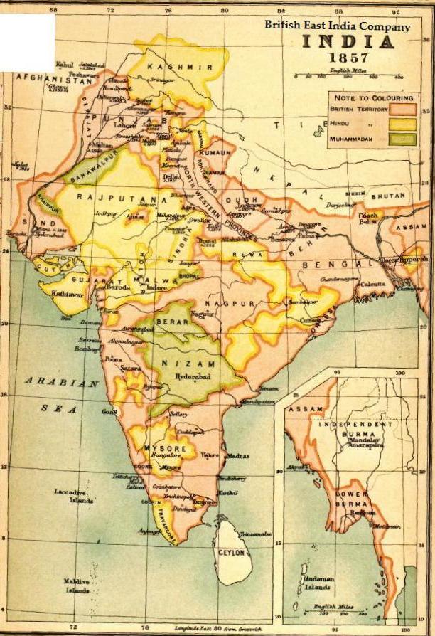
Map BEIC 1857
1857 · Wikimedia Commons

Map, "The Indian Empire and surrounding countries" (1909), Imperial Gazetteer of India.
1909 · Wikimedia Commons

Map of India from 1934, showing provinces and districts of the country during the years 1932–33
c. 1934 · Wikimedia Commons