

خريطة كتاب سندباد عصري 1938
A Map of the Indian Ocean, Arabian Peninsula, the Indian subcontinent, and the African Horn, by Egyptian Writer Hussein Fawzi, first published in 1938.
- Date
- 1938
- Mapmaker / publisher
- Hussein Fawzi (1900 - 1988)
- Place
- Arabia
- Archive
- Wikimedia Commons
- Type
- map
- Original size
- 1,241 × 922 pixels
Public domain
Reason: public domain: Egypt.
This status rests on the map's publication history, as researched by Wikimedia Commons. Check it before commercial use.
Read from: Commons licence category: PD Egypt; no CC BY, CC BY-SA, GFDL or deletion tag on the file page.
Credit line
"خريطة كتاب سندباد عصري 1938" (1938). Hussein Fawzi (1900 - 1988), via Wikimedia Commons. Public domain. https://commons.wikimedia.org/wiki/File:%D8%AE%D8%B1%D9%8A%D8%B7%D8%A9_%D9%83%D8%AA%D8%A7%D8%A8_%D8%B3%D9%86%D8%AF%D8%A8%D8%A7%D8%AF_%D8%B9%D8%B5%D8%B1%D9%8A_1938.pngNeed maps for a whole project? Add Find Any Map to Claude and ask for this one by its id: 238464.
More like this

Map of the North West Indian Ocean by Gholamali Bayandor
1941 · Wikimedia Commons

Map of the eastern Mediterranean to India, Gulf of Aden and Arabian Sea
1934–1939 · Wikimedia Commons

Near East & India 1930, svatlas
1930 · Wikimedia Commons

Erythraei Sive Rubri Maris Periplus.
1658 · Wikimedia Commons

MacRITCHIE(1886) Map Arabia and India
1886 · Wikimedia Commons
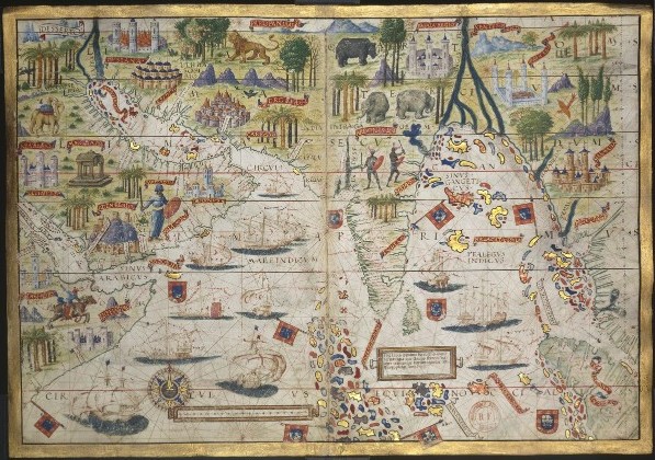
AtlasMiller BNF OceanoIndico
c. 1519 · Wikimedia Commons

Map of the Persian Gulf by Gholamali Bayandor
1941 · Wikimedia Commons

نقشه منتشرشده در کتاب اطلس تازه جغرافی عهد جدید مشتمل بر چهل و هشت ورق نقشه رنگین
1352 · Ethiopia